
Cabo Girao and the glass edge above Madeira’s Atlantic coast
Published on 09/24/2026 at 12:54 | Editorial responsibility: Rafael Müller, Editor-in-Chief AD HOC NEWS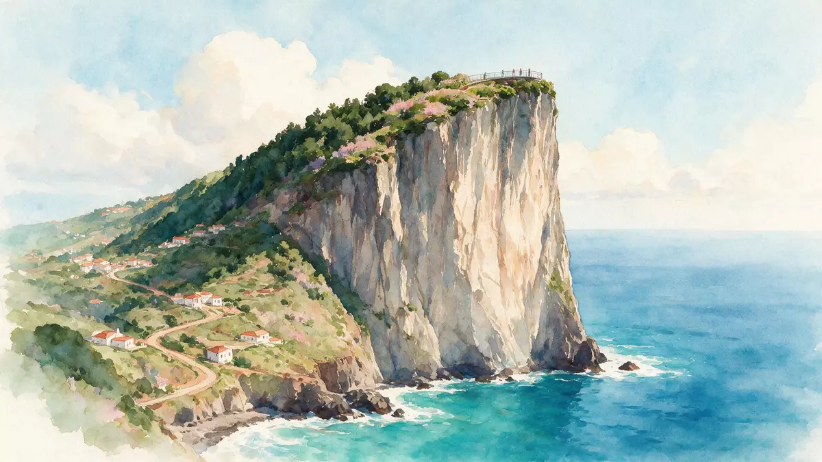
Cabo Girao rises above Camara de Lobos on Madeira’s southern coast, where a glass platform projects above a 580 m (1,903 ft) sea cliff. The transparent floor places the modern viewpoint beside layers of volcanic rock, Atlantic water and cultivated terraces.
Cabo Girao: a glass platform above a 580-metre cliff
The Cabo Girao viewpoint occupies the top of a near-vertical headland west of Funchal. Its central feature is a suspended glass skywalk, with the cliff face and ocean visible beneath the platform.
The elevation is 580 m (1,903 ft) above sea level. From the viewpoint, the coast extends towards Funchal, while the narrow fajãs below appear as cultivated strips between the cliff base and the sea. Cabo Girao’s 580-metre elevation is part of the site’s formal description.
Volcanic layers and the cultivated fajãs below
Cabo Girao is a geosite formed from pyroclastic deposits and basaltic flows. These materials belong to Madeira’s Intermediate Volcanic Complex and are crossed by a dense network of dykes.
At the base lies a sedimentary platform known as Faja dos Asnos, created by landslide deposits and later shaped by falling rock. Gravel, boulders and rounded pebbles form the rocky shore below the cliff. The Cabo Girao geosite records the relationship between volcanic strata, steep relief and the coastal platform.
The fajãs are small terraces of land at the foot of Madeira’s cliffs. Vines, fruit trees, bananas and vegetable crops have been grown in these sheltered plots. The terraces remain a visible part of the landscape from the viewpoint, adding agricultural detail to the sweep of the Atlantic.
From Zarco’s coastal survey to a modern viewpoint
The name Cabo Girao is linked with João Gonçalves Zarco, the Portuguese navigator associated with the first reconnaissance of Madeira’s coast. The name refers to the turn made during that coastal survey.
A viewpoint was established at Cabo Girao in 1938, when an access road reached the headland. The site’s present form includes the glass skywalk, completed in October 2012. The skywalk opened in 2012 and added a transparent platform to the long-established lookout.
The historic name and the contemporary structure sit within the same coastal setting. Portuguese maritime history, Madeiran agriculture and volcanic geology meet at the cliff edge without separating the viewpoint from its wider landscape.
Visiting Cabo Girao: what travellers from Western Europe should know
- Cabo Girao lies on Madeira’s south coast in the municipality of Camara de Lobos. Road access follows Estrada do Cabo Girao, and the viewpoint is west of Funchal.
- The viewpoint stands on a high cliff at 580 m (1,903 ft). Paved areas lead to the skywalk, while the exposed height and transparent floor remain central features of the visit.
- The lower fajãs contain cultivated plots and can also be reached from the coast by the Teleferico do Rancho cable car.
- The official language is Portuguese and the currency is the euro.
Searching for Cabo Girao on social platforms
These links open searches for Cabo Girao on each platform.
Frequently asked questions about Cabo Girao
Where is Cabo Girao?
Cabo Girao is on Madeira’s southern coast, in the municipality of Camara de Lobos, west of Funchal. The viewpoint stands above the Atlantic at 580 m (1,903 ft).
What can visitors see there?
The viewpoint contains a glass skywalk above the cliff. Views include the Atlantic, Madeira’s southern coastline and cultivated fajãs at the base of the headland.
What makes Cabo Girao distinctive?
Its transparent platform sits above a high volcanic sea cliff. The site combines a 2012 glass structure with geological layers and agricultural terraces linked to Madeira’s coastal landscape.


