Coyoacan: a village heart within Mexiko-Stadt
Published on 09/01/2026 at 08:10 | Editorial responsibility: Rafael Müller, Editor-in-Chief AD HOC NEWS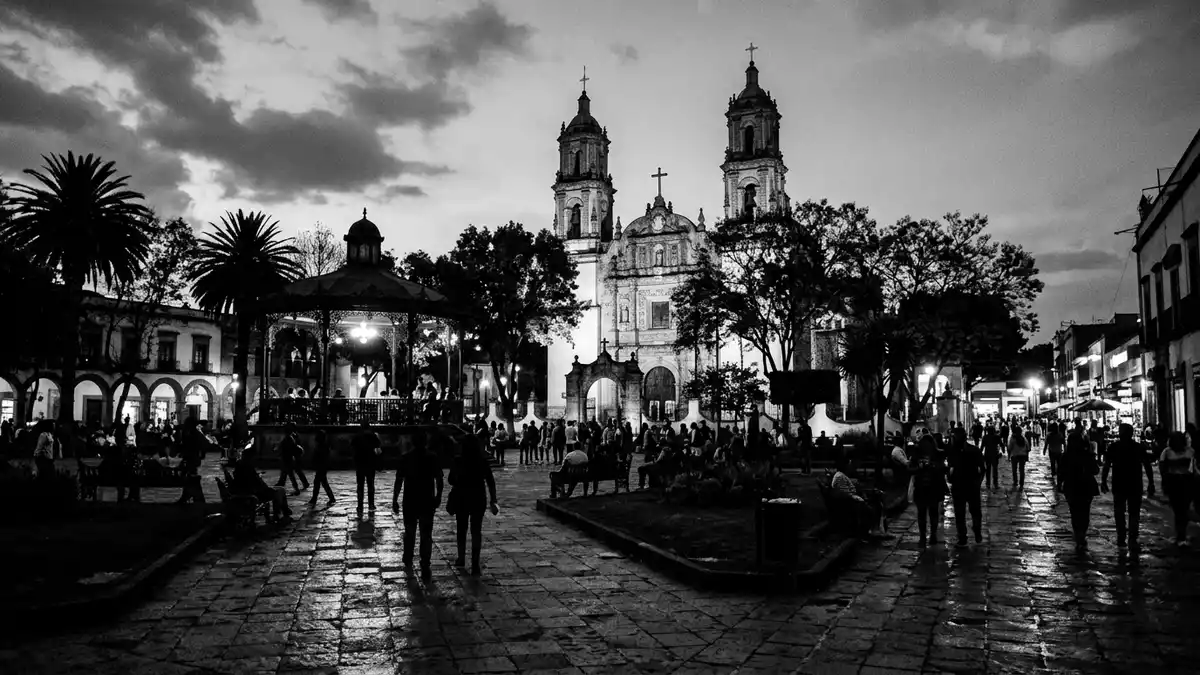
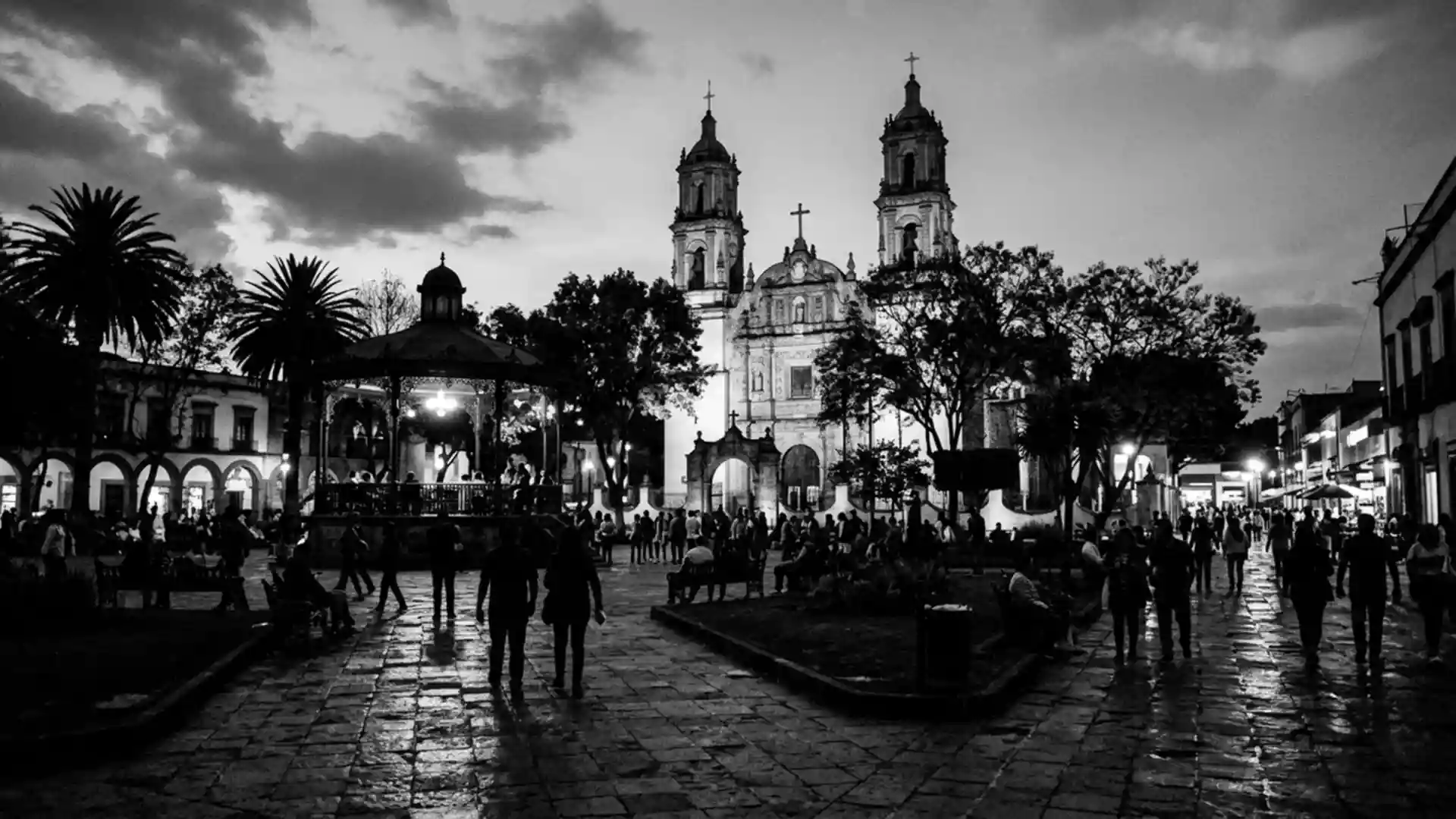
Coyoacan in Mexiko-Stadt is both an administrative borough and a historic neighbourhood whose cobbled streets and leafy plazas still evoke a separate town within the capital. The area’s name in Nahuatl is widely translated as “place of coyotes”, and its role as a Spanish headquarters in the early sixteenth century ties it closely to the birth of New Spain.
From pre-Hispanic settlement to colonial seat
Long before the arrival of the Spanish, Coyoacan stood on the southern shore of Lake Texcoco as a settlement linked to several central Mexican peoples, including the Colhuas and Tepanecs, who helped turn it into a local centre of trade and agriculture.local centre of trade and agriculture Later, the Mexica integrated the town into their wider lake system, constructing plazas, residential areas and temples that reflected the importance of this part of the basin.plazas, residential areas and temples
In 1521 Hernán Cortés used Coyoacan as his base during the campaign against the Mexica Empire, establishing the town of Villa Coyoacán as a seat of authority after the fall of Tenochtitlan.Villa Coyoacán as a seat of authority This early colonial role gave the area a central place in the organisation of New Spain, and many of the streets and squares visitors walk today still follow patterns set in the sixteenth century, with low houses and religious buildings lining stone-paved routes.
A borough of Mexiko-Stadt with a village core
Administratively, Coyoacan is one of the sixteen territorial demarcations of Mexiko-Stadt, occupying a little over 54 square kilometres in the south of the metropolis.over 54 square kilometres It borders other city districts such as Benito Juárez to the north and Xochimilco to the southeast, underlining its position within the larger urban fabric.borders other city districts Within this wider borough, however, the historic centre around Plaza Hidalgo and Jardín Centenario forms a compact walkable area that retains a village-like character.
Coyoacan was incorporated into the Federal District in 1857, losing its status as an independent municipality but keeping its semi-rural feel well into the late nineteenth and early twentieth centuries.incorporated into the Federal District in 1857 As Mexiko-Stadt expanded, the borough became more deeply woven into the city, yet the streets near the historic plaza still feature colonial-era houses, small churches and local markets rather than high-rise office blocks.colonial-era houses and local markets
Artists, museums and everyday plazas
Coyoacan’s twentieth-century story is closely tied to art and politics, with figures such as Frida Kahlo, Diego Rivera and Leon Trotsky all living within its streets at different points.Frida Kahlo and Diego Rivera The former home of Kahlo, known as Casa Azul, functions as a museum, while Trotsky’s house also receives visitors as a preserved site, making the neighbourhood a place where domestic spaces and political history intersect.Trotsky’s house also receives visitors
Beyond these high-profile addresses, Coyoacan is known for its markets, cafes and plazas, including the Mercado de Coyoacán and the tree-framed square of Jardín Centenario with its coyote fountain reflecting the Nahuatl origin of the name.coyote fountain reflecting the Nahuatl origin The borough also contains major institutions such as the Universidad Nacional Autónoma de México (UNAM), recognised as the oldest university in North America and the largest in Latin America, whose campus has World Heritage status.UNAM with World Heritage status
Visiting Coyoacan: what travellers from Western Europe should know
- Coyoacan lies in the southern part of Mexiko-Stadt, with the historic neighbourhood around Plaza Hidalgo and Jardín Centenario forming a compact area within the wider borough.
- The streets around the central squares are paved and often narrow, with a mix of low houses, small churches and markets, so walking routes involve uneven surfaces rather than broad boulevards.
- Metro Line 3 of the city’s system serves stations such as Coyoacán and Viveros, which sit within reach of the historic centre and offer a rail connection from other districts.
- The official language is Spanish and the currency is the Mexican peso.
- Entry requirements depend on your nationality; UK travellers can check the FCDO travel advice at gov.uk/foreign-travel-advice, Irish travellers the Department of Foreign Affairs at ireland.ie.
Searching for Coyoacan on social platforms
These links open searches for Coyoacan on each platform.Frequently asked questions about Coyoacan
Where is Coyoacan within Mexiko-Stadt?
Coyoacan is a southern borough of Mexiko-Stadt, with its historic neighbourhood lying several kilometres from the Zócalo and bordered by districts such as Benito Juárez and Xochimilco.
What can visitors expect on a first walk through Coyoacan?
A first walk brings cobbled streets, colonial-era houses, small churches, markets and twin plazas such as Plaza Hidalgo and Jardín Centenario that make the area feel like a self-contained town.
What makes Coyoacan distinctive among Mexiko-Stadt’s districts?
Coyoacan combines deep pre-Hispanic and early colonial history with a twentieth-century artistic legacy, while its plazas and markets retain a village character within a large metropolitan borough.