
Dujiangyan and Mount Qingcheng, where an ancient river reshaped a plain
Published on 09/03/2026 at 15:02 | Editorial responsibility: Rafael Müller, Editor-in-Chief AD HOC NEWS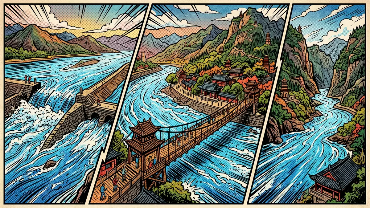
On the western edge of the Chengdu plain, Dujiangyan brings together an ancient irrigation system and the wooded slopes of Mount Qingcheng in one continuous landscape. This hydraulic project, begun in the third century BC under the Qin dynasty, still diverts the Minjiang River across the Sichuan basin and is recognised by UNESCO as part of the cultural property “Mount Qingcheng and the Dujiangyan Irrigation System”, inscribed on the World Heritage List in 2000.Mount Qingcheng and the Dujiangyan Irrigation System
River, plain and ancient engineering
Dujiangyan lies where the Minjiang River descends from the mountains into the Chengdu flatlands, at the junction between the Sichuan basin and the fringes of the Qinghai–Tibet Plateau.the Chengdu flatlands at the junction This is the point where fast upland water meets broad alluvial farmland, and the site’s defining structures sit directly in that transition zone.
The irrigation system took shape in the third century BC as a series of earthworks and channels that split and steered the Minjiang rather than blocking it.Construction began in the 3rd century B.C. The project is associated with Li Bing, a governor of Shu in the Qin state, whose work on flood control and irrigation introduced a durable way of managing mountain water for agriculture.Li Bing, a hydraulic engineer Over more than two millennia, the system has helped turn the Chengdu plain into intensively cultivated land.
Yuzui, Feishayan and Baopingkou: the core works
The Dujiangyan works centre on three main structures in the river: Yuzui, Feishayan and Baopingkou, each occupying a distinct position in the flow.the main project included three components Yuzui is a diversion dike that splits the Minjiang into an inner and outer channel, redirecting part of the water towards the irrigation network while leaving another part in the main bed.Yuzui diversion dike Feishayan, downstream, functions as a spillway that discharges excess water and sediment, shaping the volume and character of the flow entering Baopingkou.
Baopingkou is the inlet where river water crosses from the Minjiang into the artificial watercourses that feed the fields of the Chengdu plain.Baopingkou inlet Around these three works lie ancillary embankments and channels such as the Baizhang Dike and V-shaped Dike, which distribute, protect and stabilise the system.ancillary works including Baizhang Dike For travellers, paths and bridges bring these structures within close view, so the interaction of river, dikes and cut stone can be read directly on the site.
Mount Qingcheng and temples above the water
Mount Qingcheng rises above Dujiangyan as a low, forested peak long associated with Taoism.Mount Qingcheng was the birthplace of Taoism The mountain forms the backdrop to the irrigation works and carries a network of old paths, pavilions and temples that climb through bamboo and mixed woodland. From higher points on the slopes, parts of the Minjiang and the spread of the Chengdu plain come into view.
The UNESCO inscription treats Mount Qingcheng and the Dujiangyan Irrigation System as a single cultural property, reflecting both the engineering and the religious landscape.part of Mount Qingcheng and the Dujiangyan Irrigation System Temples on the mountain, some rebuilt after earlier damage, mark locations where Taoist practice has been rooted for centuries, while shrines and commemorative buildings near the river honour figures involved in the irrigation project. Together they form a setting in which water management, agriculture and belief are closely interwoven.
Visiting Dujiangyan: what travellers from Western Europe should know
- Dujiangyan lies north-west of Chengdu in Sichuan province, with the Minjiang River curving through Dujiangyan City and the irrigation works and Mount Qingcheng reached from the same valley.
- Within the scenic area, paths and stepped walkways cross dikes, bridges and riverbanks, and reaching viewpoints on Mount Qingcheng involves sustained uphill walking on stone steps.
- In winter in this part of Sichuan, temperatures can drop low enough for surfaces on shaded paths and bridges to feel colder and damper, while in summer the river corridor and mountain forest can be humid.
- The official language is Chinese and the currency is the renminbi (yuan).
- Entry requirements depend on your nationality; UK travellers can check the FCDO travel advice at gov.uk/foreign-travel-advice, Irish travellers the Department of Foreign Affairs at ireland.ie.
Searching for Dujiangyan on social platforms
These links open searches for Dujiangyan on each platform.
Frequently asked questions about Dujiangyan
Where is Dujiangyan and how does it relate to Chengdu?
Dujiangyan is in Sichuan province in south-west China, north-west of Chengdu, at the point where the Minjiang River enters the broad Chengdu plain.
What can travellers expect to see on a visit to Dujiangyan?
A visit brings close views of the river works at Yuzui, Feishayan and Baopingkou, stone embankments and channels, together with bridges, temples and forested slopes on Mount Qingcheng.
What makes Dujiangyan distinctive among hydraulic sites?
Dujiangyan is an ancient system that splits and diverts a mountain river without a large dam and has continued to irrigate the Chengdu plain since the third century BC, forming a joint World Heritage property with Mount Qingcheng.


