
Grand Canyon: a river cuts through deep time
Published on 09/23/2026 at 14:36 | Editorial responsibility: Rafael Müller, Editor-in-Chief AD HOC NEWS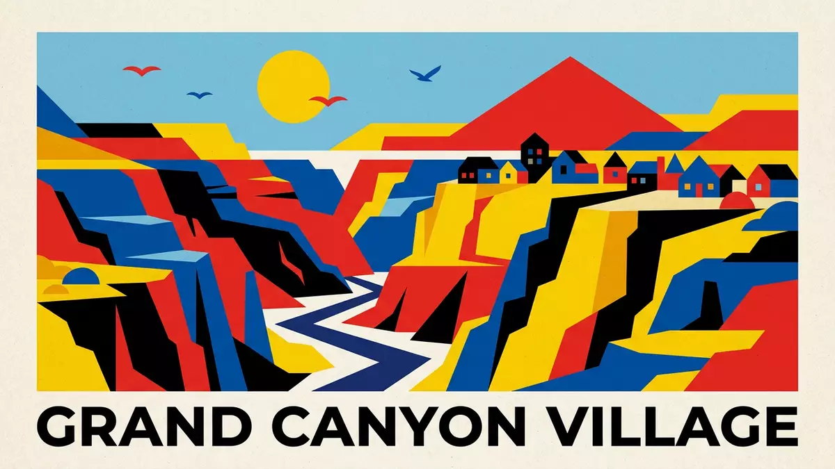
Grand Canyon is a vast incision through the Colorado Plateau, with the Colorado River visible far below the South Rim near Grand Canyon Village. Its walls display rock layers formed across more than two billion years, while the canyon itself took shape during the last six million years.
Grand Canyon’s walls read like a geological archive
The canyon extends for about 446 km (277 miles) along the Colorado River. Its width changes sharply, from narrow reaches near Marble Canyon to broad expanses measuring up to 29 km (18 miles) between rims. Near Grand Canyon Village, the rim-to-rim span is about 16 km (10 miles).
The exposed strata range from ancient igneous and metamorphic rocks in the inner gorge to younger sedimentary layers higher on the walls. Horizontal bands of limestone, sandstone and shale form terraces, cliffs and slopes, with colour changing across the canyon’s depth. The oldest rocks exposed here approach two billion years in age. the geological record spans the major eras of Earth history.
The Colorado River at the bottom of the gorge
The Colorado River follows the canyon floor through Grand Canyon National Park. Its course runs beneath the South Rim and continues through a landscape of tributary canyons, mesas, buttes and ridges.
The river began carving its present course through the region about five to six million years ago. Erosion has exposed rock layers that predate the canyon by a vast margin, creating a striking contrast between geological age and the comparatively young landform. the Colorado River’s role belongs to the canyon’s central geological story.
Grand Canyon Village and the South Rim
Grand Canyon Village lies on the South Rim, beside viewpoints, historic buildings and routes leading towards the river. The settlement forms the principal visitor base for the South Rim landscape, where the canyon opens across a broad sequence of cliffs and distant formations.
The vertical difference between the South Rim and the river near the village is about 1,524 m (5,000 ft). The distance is shorter on a map than along the trails, which descend through changing rock layers towards the Colorado River. the South Rim profile gives the village its distinctive position above the inner gorge.
Visiting Grand Canyon: what travellers from Western Europe should know
- Grand Canyon Village is on the South Rim in northern Arizona. Road access reaches the village, and rail services connect with the South Rim from Williams.
- The rim stands far above the Colorado River. Trails descending from Grand Canyon Village involve steep gradients, exposed terrain and a substantial return climb.
- The South Rim lies at high elevation, and temperatures can differ sharply between the rim and the river corridor.
- The official language is English and the currency is the US dollar.
Searching for Grand Canyon on social platforms
These links open searches for Grand Canyon on each platform.Frequently asked questions about Grand Canyon
Where is Grand Canyon?
Grand Canyon lies in northern Arizona, United States, within Grand Canyon National Park. Grand Canyon Village is located on the South Rim.
What can visitors expect at Grand Canyon?
Visitors encounter rim viewpoints, layered cliffs, deep side canyons and trails descending towards the Colorado River. The terrain involves major elevation changes and high-altitude conditions.
What makes Grand Canyon distinctive?
Its walls expose geological layers spanning more than two billion years. The Colorado River runs through a canyon formed during the last five to six million years.


