
Hopewell Rocks and the forest-topped pillars of Fundy Bay
Published on 09/23/2026 at 00:59 | Editorial responsibility: Rafael Müller, Editor-in-Chief AD HOC NEWS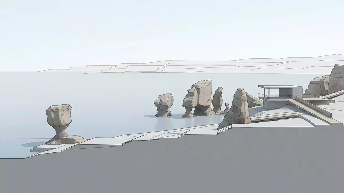
Hopewell Rocks rises from the shore at Hopewell Cape as a line of red-brown pillars topped with trees. The formations change character with the tide: the seabed becomes walkable at low water, while the Bay of Fundy surrounds the rock bases at high water.
Hopewell Rocks: pillars shaped from Carboniferous rock
The formations belong to the Hopewell Cape Formation, a Lower Carboniferous rock unit within the Mabou Group. It contains reddish sandstone, conglomerate and thinner mudstone layers, with rounded pebbles set inside cemented sediment.
The Hopewell Cape Formation records rivers and sedimentary landscapes from the Carboniferous period. Sand and pebbles accumulated in layers, became rock, and were tilted and fractured by geological forces.
The Bay of Fundy tide beneath the tree crowns
Water has widened fractures and worn the shoreline into separate pillars. Glacial meltwater also shaped the coast after the last ice sheet retreated, leaving the exposed rock open to the repeated action of Fundy tides.
The tidal contrast creates two distinct views of the same coast. At low tide, the beach and seabed extend around the bases. At high tide, water reaches the pillars and kayaks can pass among the formations. The tidal shoreline at Hopewell Rocks is therefore part of the landscape’s identity, not merely a setting for it.
From Hopewell Cape Formation to flowerpot rocks
The pillars are widely known as flowerpot rocks because their upper sections remain broader than their eroded bases. Trees grow on the caps, giving the formations a distinct outline along the shore.
The rock continues to change as water attacks its lower sections. Some pillars remain attached to the cliff, while others stand apart as sea stacks. The geological history of the pillars includes sediment deposition, tectonic movement, glaciation and coastal erosion.
Hopewell Rocks forms part of a provincial park on New Brunswick’s inner Bay of Fundy coast. Forest, cliff, beach and tidal water appear together within a compact coastal landscape, while named formations line the shore below the viewing areas.
Visiting Hopewell Rocks: what travellers from Western Europe should know
- Hopewell Rocks lies at Hopewell Cape in New Brunswick, eastern Canada, on the inner Bay of Fundy coast. The site is reached by road from the regional centres of Moncton and Saint John.
- The shoreline approach includes trails, viewing platforms and stairways between the upper park and the beach. The beach surface is tidal and can be covered by seawater.
- Low tide exposes the ocean floor around the formations. High tide places water around the bases, creating a different view of the same pillars.
- The official languages of Canada are English and French, and the currency is the Canadian dollar.
- Conditions on the mountain change with the seasons; the local cable-car operators and alpine clubs provide information.
Searching for Hopewell Rocks on social platforms
These links open searches for Hopewell Rocks on each platform.
Frequently asked questions about Hopewell Rocks
Where are Hopewell Rocks?
Hopewell Rocks is on the Bay of Fundy shore at Hopewell Cape, in New Brunswick, eastern Canada. The formations lie within a provincial park beside the tidal coast.
What can visitors expect at Hopewell Rocks?
The landscape includes forest paths, viewing platforms, stairways, cliffs and a tidal beach. Low water exposes the seabed, while high water surrounds the bases of the pillars.
What makes Hopewell Rocks distinctive?
Its red-brown Carboniferous sandstone and conglomerate form tree-topped flowerpot rocks. The same formations appear beside an exposed seabed at low tide and tidal water at high tide.


