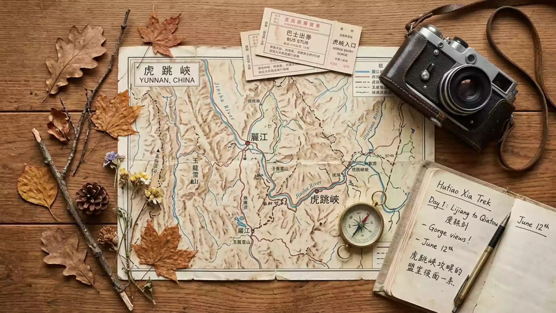
Hutiao Xia, where the Jinsha River carves a canyon north of Lijiang
Published on 09/03/2026 at 08:08 | Editorial responsibility: Rafael Müller, Editor-in-Chief AD HOC NEWS
Hutiao Xia is the Chinese name for a dramatic river canyon north of Lijiang, where the Jinsha River cuts between high snow mountains and forms one of Yunnan’s most striking landscapes.a scenic canyon on the Jinsha River The gorge lies in Yunnan, on the route between Lijiang and Shangri-La, and belongs to the Three Parallel Rivers of Yunnan Protected Areas World Heritage Site, inscribed in 2003.Three Parallel Rivers of Yunnan Protected Areas
The canyon between Jade Dragon and Haba Snow Mountains
Hutiao Xia follows the Jinsha River, an upper stretch of the Yangtze, between steep walls of rock that rise toward glaciated peaks.torrential current of the Jinsha River The gorge lies between Jade Dragon Snow Mountain to the south and Haba Snow Mountain to the north, both rising to well over 5,000 m (16,404 ft) above sea level.between Jade Dragon Snow Mountain and Haba Snow Mountain From the riverbed to the highest ridges the relief reaches nearly 3,800 m (12,467 ft), giving the canyon its reputation as one of the deepest in the region.one of the deepest gorges in the world
The water surface of the Jinsha River in this section lies at around 1,800 m (5,906 ft) above sea level, while the mountains on both sides climb above 5,500 m (18,045 ft).water surface about 1,800 metres above sea level The gorge itself extends for roughly 15 to 17 km (9 to 10.5 miles), divided into three named sections: Upper Gorge, Middle Gorge and Lower Gorge.divided into Upper, Middle and Lower Gorge At its narrowest point the canyon constricts the river to a width of only a few dozen metres, where a single boulder stands in the current and carries the name Tiger Leaping Rock.large rock at the gorge’s narrowest section
Hutiao Xia as part of the Three Parallel Rivers landscape
Hutiao Xia forms part of a wider protected landscape in north-western Yunnan, where three major rivers run broadly parallel through deeply incised valleys.Three Parallel Rivers of Yunnan Protected Areas World Heritage Site The gorge sits within the Three Parallel Rivers of Yunnan Protected Areas, a World Heritage inscription that recognises the combination of dramatic relief, river systems and mountain biodiversity across this region.inscribed in 2003 The protected area encompasses sections of the Jinsha River along with the upper reaches of other major rivers, creating a mosaic of high peaks, deep gorges and temperate forests.
Within this larger setting, Hutiao Xia occupies the segment of the Jinsha River north of Lijiang and south of Shangri-La, acting as a corridor between the city’s basin and the more elevated plateau to the north.a canyon north of Lijiang in Yunnan The surrounding slopes carry villages and terraces in some sections, while other stretches remain dominated by cliffs and forested ridges. Snow cover persists on the higher summits around the gorge during the coldest months, while the river continues to cut through the valley beneath.
Trails, viewpoints and river-level access
Hutiao Xia is known for its network of paths and roads that follow the canyon, with routes on both the upper slopes and closer to the riverbed.a dramatic canyon on the Jinsha River A high trail runs along the flanks of the mountains, linking guesthouses and viewpoints and offering long perspectives over the gorge from above.the hike itself is around 20km long Closer to the water, constructed paths and stairways descend towards platforms where the river’s rapids and boulder fields can be seen from short range.drops in a series of rapids
The uppermost section of Hutiao Xia marks the mouth of the gorge, where the Jinsha River begins to enter its confined course between the mountains and passes the Tiger Leaping Rock in midstream.in the midst of the river’s mouth is a large rock From there, routes continue along the canyon through the Middle and Lower Gorge, with the total walking distance for the high trail described as around 17 to 20 km (10.5 to 12.4 miles) by various guides.around 17 kilometers in length Road access also reaches parts of the gorge, including points where stairways and viewing platforms provide structured approaches to the river.
Visiting Hutiao Xia: what travellers from Western Europe should know
- Hutiao Xia lies north of Lijiang in Yunnan, on the Jinsha River between Jade Dragon Snow Mountain and Haba Snow Mountain, with road access described through Hutiaoxia Town and the route towards Shangri-La.
- The terrain combines steep canyon walls, constructed stairways and mountain paths, with sections that involve sustained gradients and long flights of steps between viewpoints and river-level platforms.
- The gorge sits in Yunnan, where the official language is Mandarin Chinese and the currency is the Chinese yuan (renminbi).
- Entry requirements depend on your nationality; UK travellers can check the FCDO travel advice at gov.uk/foreign-travel-advice, Irish travellers the Department of Foreign Affairs at ireland.ie.
Searching for Hutiao Xia on social platforms
These links open searches for Hutiao Xia on each platform.Frequently asked questions about Hutiao Xia
Where is Hutiao Xia located?
Hutiao Xia is a canyon on the Jinsha River in Yunnan, about 60 km north of Lijiang and on the route towards Shangri-La in south-western China.
What can visitors expect on a visit to Hutiao Xia?
Visitors encounter a deep river gorge with mountain trails, stairways, viewing platforms and long perspectives over the Jinsha River between high snow-covered peaks.
What makes Hutiao Xia distinctive among river gorges?
The gorge combines a relief of nearly 3,800 m between river and summits with its location between Jade Dragon and Haba Snow Mountains within a recognised World Heritage landscape.