Jokulsarlon and the changing edge of Vatnajokull
Published on 09/02/2026 at 21:34 | Editorial responsibility: Rafael Müller, Editor-in-Chief AD HOC NEWS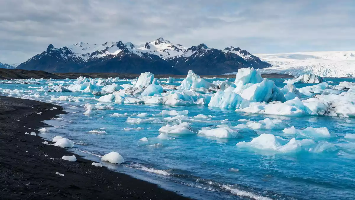
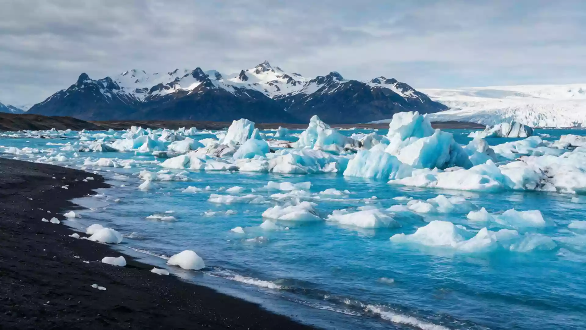
Jokulsarlon near Hofn is a glacial lagoon where blue and white icebergs drift against black sand and dark water. It lies within Vatnajökull National Park, with Breiðamerkurjökull above it and Route 1 running through the area.
The lagoon’s present form belongs to the twentieth century, when the glacier retreated and the basin filled with meltwater. Jökulsarlon is one of the clearest examples of the east Iceland coastline shaped by ice, sand and open water.
A lagoon at the foot of Breiðamerkurjökull
The most striking feature is the direct contact between glacier, lagoon and shore. The icebergs vary in size and colour, and the water opens the view towards the Atlantic side of the coast.
Jökulsárlón formed as Breiðamerkurjökull retreated in the 1920s and 1930s. NASA describes it as the deepest lake in Iceland, with a depth of 248 m (814 ft).
Ice, sand and the edge of the sea
The lagoon sits beside a black sand shore, and pieces of ice move from the water towards the beach. That contrast between pale ice and dark volcanic sand is the defining visual relationship at the site.
Jokulsarlon is also tied to the broader landscape of Breiðamerkursandur. The park’s coastal setting, lagoons and glacier-fed terrain make the area a distinctive part of south-east Iceland.
Jokulsarlon as part of Iceland’s south-east coast
The place belongs to the wider world of Vatnajökull and the southeast coast, where glacier outlets meet low-lying sandur. Its setting links a named glacier, a national park and a shoreline that remains open to the weather and the sea.
Route 1 crosses the area, and the park’s rangers manage Jökulsárlón, Fellsfjara and Fjallsárlón. The coast from Kvíármýrarkambur to Höfn is part of the same glacial landscape.
Visiting Jokulsarlon: what travellers from Western Europe should know
- The lagoon is reached from Route 1 in south-east Iceland, with Hofn to the east and Skaftafell to the west. It sits within Vatnajökull National Park.
- The ground around the lagoon is flat, open and exposed to wind, with ice, sand and water spread across a broad coastal setting.
- Jökulsárlón lies beside the Breiðamerkurjökull outlet glacier, so the main features are visible from the shore and the road corridor.
- The area is part of a glacier-fed coastline, and the landscape changes from dark sand to ice-strewn water in a short distance.
Searching for Jokulsarlon on social platforms
These links open searches for Jokulsarlon on each platform.
Frequently asked questions about Jokulsarlon
Where is Jokulsarlon?
Jokulsarlon is in south-east Iceland near Hofn, within Vatnajökull National Park. It sits beside Breiðamerkurjökull and Route 1.
What can be seen there?
The lagoon contains drifting icebergs, dark water and a black sand shoreline. The surrounding landscape includes glacier ice, sandur and coastal open space.
What makes Jokulsarlon distinctive?
Its main feature is the meeting of glacier, lagoon and sea-facing coast in one place. The contrast between pale ice and dark sand defines the scene.