
Kapadokya around Göreme and its carved volcanic valleys
Published on 09/14/2026 at 17:19 | Editorial responsibility: Rafael Müller, Editor-in-Chief AD HOC NEWS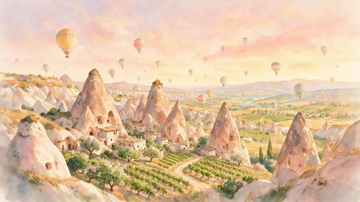
Kapadokya around Göreme in central Turkey is a landscape where soft volcanic rock, deep valleys and carved sanctuaries meet, creating a plateau of sculpted forms on the edge of the town. Set in Nev?ehir Province on the Central Anatolia plateau, Göreme sits close to valleys of pinnacles often called fairy chimneys, and to churches cut into the rock that carry traces of Byzantine painting from the post-Iconoclastic period.
Volcanic landscape shaped into valleys and pinnacles
The setting of Kapadokya around Göreme is a volcanic region in Nev?ehir Province, part of a plateau formed by ancient eruptions from volcanoes including Mount Hasan and Mount Erciyes in Central Anatolia.Central Anatolia plateau Over time, thick deposits of volcanic ash solidified into soft tuff, capped in places by harder rock, and erosion carved the plateau into ridges, valleys and isolated rock forms.
In the valleys around Göreme this erosion created clusters of rock pinnacles widely referred to as fairy chimneys, rising from the valley floor and from slopes along Love Valley, Pigeon Valley, Rose Valley and other nearby valleys.valleys and pinnacles known as fairy chimneys The pinnacles and cliffs are made of the same pale volcanic tuff, and many have been cut into with openings leading to former dwellings, storage spaces and places of worship carved directly into the rock.
Göreme National Park and the Rock Sites of Cappadocia
Kapadokya around Göreme forms part of Göreme Historical National Park, a protected area in Nev?ehir Province that became a World Heritage Site in 1985 under the name Göreme National Park and the Rock Sites of Cappadocia.Göreme Historical National Park The inscription recognises both the geological forms and the cultural traces of life in the rock, including sanctuaries that bear evidence of Byzantine art after the Iconoclastic period and underground towns that preserve a long tradition of habitation.
The national park extends across an area measured in tens of square kilometres, linking Göreme with neighbouring centres such as Ürgüp and Avanos and with valleys that hold troglodyte villages and rock-hewn sanctuaries.Göreme National Park and the Rock Sites of Cappadocia Within this wider protected area, the landscape around Göreme shows how erosion and carving interact: soft rock shaped by wind and water into freestanding forms, then cut into to create interior spaces that remain visible on many valley slopes.
Göreme, the open-air museum and carved churches
Göreme itself is a town in the Nev?ehir District of Nev?ehir Province, with a population recorded in the low thousands and an elevation of around 1,100 m (3,609 ft) above sea level.Göreme is a municipality in Cappadocia It stands among the valleys of Kapadokya and functions as a base for visiting the surrounding national park, with roads leading out towards Nev?ehir, Ürgüp and Avanos across the plateau.
One of the most concentrated groups of carved sanctuaries near the town lies at Göreme Open Air Museum, a complex of rock-cut churches and monastic spaces set into a valley close to Göreme.Göreme Open Air Museum Inside these tuff formations, interiors have been carved out and walls painted with frescoes that include post-Iconoclastic Byzantine imagery, giving the museum and its surrounding valley a dense concentration of historical religious architecture cut directly into the volcanic rock.
Visiting Kapadokya: what travellers from Western Europe should know
- Kapadokya around Göreme lies in Nev?ehir Province in Central Anatolia, reached by road links from nearby cities such as Nev?ehir and Kayseri across the plateau.
- Approaches into the valleys often follow paths over uneven volcanic tuff, with slopes and steps cut into the rock and sections where walking surfaces can be loose.
- Göreme is close to valleys including Love Valley and Pigeon Valley, where walking routes lead between clusters of fairy chimneys and along the sides of sculpted ravines.
- The official language is Turkish and the currency is the Turkish lira.
- Entry requirements depend on your nationality; UK travellers can check the FCDO travel advice at gov.uk/foreign-travel-advice, Irish travellers the Department of Foreign Affairs at ireland.ie.
Searching for Kapadokya on social platforms
These links open searches for Kapadokya on each platform.
Frequently asked questions about Kapadokya
Where is Kapadokya around Göreme located?
Kapadokya around Göreme lies on the Central Anatolia plateau in Nev?ehir Province, Turkey, within Göreme Historical National Park and its surrounding valleys.
What can visitors expect when exploring Kapadokya?
Visitors encounter valleys cut into volcanic tuff, clusters of fairy chimneys and numerous carved openings, along with rock-cut churches and monastic spaces such as those at Göreme Open Air Museum.
What makes Kapadokya around Göreme distinctive?
Its combination of eroded volcanic landscape, carved dwellings, underground towns and Byzantine rock-cut sanctuaries within a single protected area gives Kapadokya around Göreme a distinctive character among Anatolian plateaux.


