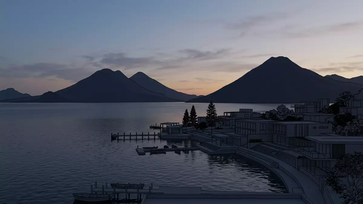
Lago de Atitlan and Panajachel on the lake shore
Published on 08/08/2026 at 15:02 | Editorial responsibility: Rafael Müller, Editor-in-Chief AD HOC NEWS
Lago de Atitlan in Guatemala is a high-altitude volcanic lake framed by steep slopes and waterbound towns, with Panajachel on its northern shore. Its broad surface, ring of volcanoes and lakeside settlements make the scenery as important as any single viewpoint.
The volcanic bowl around Lago de Atitlan
The lake lies within a volcanic basin in the Guatemalan Highlands, and the surrounding mountains rise sharply from the shore. Volcán Atitlán, Volcán Tolimán and Volcán San Pedro form the classic skyline associated with the lake.
The setting is part landscape, part settlement pattern. Villages and small towns face the water, while roads are limited and movement across the lake remains part of daily life.
Panajachel as the main gateway
Panajachel is the best-known starting point for many visits to Lago de Atitlan, with a shoreline promenade, boat landings and access to nearby villages by water. The town gives the lake a practical edge: ferries, small piers and a busy street pattern sit close to the shore.
The atmosphere shifts between market town and transport hub. Textile shops, cafés and lakeside viewpoints sit within a compact area that still feels tied to the water.
Why the lake stays memorable
Lago de Atitlan is not a flat inland lake with one central vista. Its appeal lies in the changing angles between the water, the volcanoes and the settlements on the shore.
The lake has long been associated with Maya communities, and Kaqchikel and Tz'utujil culture remain visible in local life, textiles and language. That cultural layer gives the shoreline more than scenery alone.
Visiting Lago de Atitlan: what travellers from Western Europe should know
- The site is reached from Guatemala City or Antigua by road, then by boat from lakeside towns such as Panajachel.
- Admission arrangements and opening hours are set by the site's operator and change with the season; the official website is the only binding source.
- The drier months usually bring clearer views across the water, while early and late daylight give the calmest light on the lake.
- Shore paths, boat jetties and hillside streets can involve steps, slopes and uneven ground.
- Spanish is the main language in visitor areas, and cash is useful for boats, snacks and local transport.
- Entry requirements depend on your nationality. UK travellers should check the FCDO travel advice at gov.uk/foreign-travel-advice; Irish travellers the Department of Foreign Affairs at ireland.ie; EU and EEA citizens their own national foreign ministry.
Searching for Lago de Atitlan on social platforms
These links open searches for Lago de Atitlan on each platform.Frequently asked questions about Lago de Atitlan
Where is Lago de Atitlan?
It is in the Guatemalan Highlands, near Panajachel, within a volcanic basin bordered by prominent cones and ridges. The lake is part of western Guatemala's best-known landscape.
What should travellers expect on a visit?
Expect boat travel, lakeside streets and sloping ground, with towns that are linked across the water rather than by one continuous road. Panajachel works well as a base for crossing to other settlements.
What makes Lago de Atitlan distinctive?
The combination of water, volcanoes and living lakeside communities gives it a strong visual identity. The shore is shaped as much by transport across the lake as by the scenery itself.