
Landslide findings emerge at Irazú Volcano on 26 September
Published on 09/27/2026 at 16:55 | Editorial responsibility: Rafael Müller, Editor-in-Chief AD HOC NEWS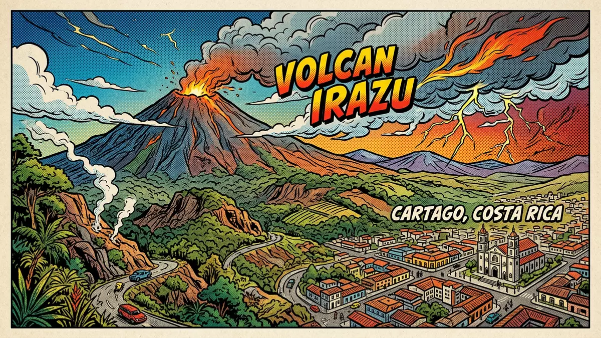
Irazú Volcano (Volcán Irazú) in Cartago is under renewed attention after a landslide on 19 September 2026 and a published assessment on 26 September 2026 documented substantial ground loss in its western towers sector.
The findings concern a part of the volcano separate from the crater visitor area, but they add a current geological development for travellers planning a visit in Costa Rica.
A 26 September assessment records the Irazú Volcano collapse
The collapse occurred at 4.27am on 19 September 2026 on the western edge of the towers sector. A preliminary assessment by the Observatorio Vulcanológico y Sismológico de Costa Rica recorded a fall of an antenna and the removal of remnants from former University of Costa Rica transmission buildings.
The affected area covered approximately 900 square metres, while nearly 30,000 cubic metres of rock and soil moved downslope. The assessment found local level differences of up to 40 metres and a retreat of up to 15 metres at the point of greatest ground loss. Assessment of the collapse published on 26 September 2026 describes the change using field work and aerial comparisons.
The report says the collapse did not produce new cracks. Instead, a pre-existing discontinuity became longer, wider and more separated before forming the crown of the landslide. A National Emergency Commission inspection on 18 September 2026 had recorded the crack one day before the collapse.
Five craters frame the current geological picture
The affected towers sector is not described as a crater in the park's official visitor information. The custodian's page presents the national park as the site of Costa Rica's highest volcano and identifies five craters, giving the current findings a precise place within a larger volcanic landscape. Official park information places the site near the city and outlines its visitor facilities.
The assessment also discusses a possible connection with a magnitude 5 tectonic earthquake on 24 August 2026. The observatory says the earthquake may have contributed to the opening or acceleration of the discontinuity, but it does not establish a causal relationship. Further monitoring will use field observations, photogrammetry and geodetic measurements.
This links the September finding to the physical organisation of the mountain rather than to an eruption announcement. The documented change is concentrated in the western towers sector, while the five-crater description remains the relevant orientation for the park's visitor landscape.
Route 219 remains the main approach from Cartago
Irazú Volcano National Park lies north of Cartago in Costa Rica. The national tourism board describes the approach from San José through the Florencio del Castillo Highway and Taras de Cartago, followed by the road towards the volcano.
The tourism board also lists bus access from San José and Cartago, with services reaching the volcano through the Tierra Blanca area. Its visitor access guidance identifies Route 219 for the Cráteres section. The landslide findings concern the towers sector, so the assessment should not be read as a statement that every visitor facility is closed.
Visiting Irazú Volcano: what travellers from Western Europe should know
- The current geological peg is the landslide of 19 September 2026 and its assessment published on 26 September 2026 at the western towers sector.
- The reported ground loss concerns the towers area. No closure of the crater visitor area is stated in the assessment or the official park page.
- The main approach from Cartago is Route 219. The national tourism board also lists bus connections from San José and Cartago through Tierra Blanca.
- The park contains five craters, and the summit terrain is volcanic ground with exposed slopes and uneven surfaces.
- Costa Rica's official language is Spanish and its national currency is the Costa Rican colón.
- Entry requirements depend on your nationality; UK travellers can check the FCDO travel advice at gov.uk/foreign-travel-advice, Irish travellers the Department of Foreign Affairs at ireland.ie.
Searching for Irazú Volcano on social platforms
These links open searches for Irazú Volcano on each platform.
Frequently asked questions about Irazú Volcano
What happened at Irazú Volcano on 19 September 2026?
A landslide affected the western towers sector on 19 September 2026, removing ground, an antenna and remnants of former transmission buildings.
What did the 26 September 2026 assessment find?
The preliminary assessment recorded approximately 900 square metres of affected ground, nearly 30,000 cubic metres of moved material and local level differences of up to 40 metres.
Where is Irazú Volcano and how do you get there?
The national park is north of Cartago in Costa Rica. Route 219 is the main road approach, and bus connections are listed from San José and Cartago.


