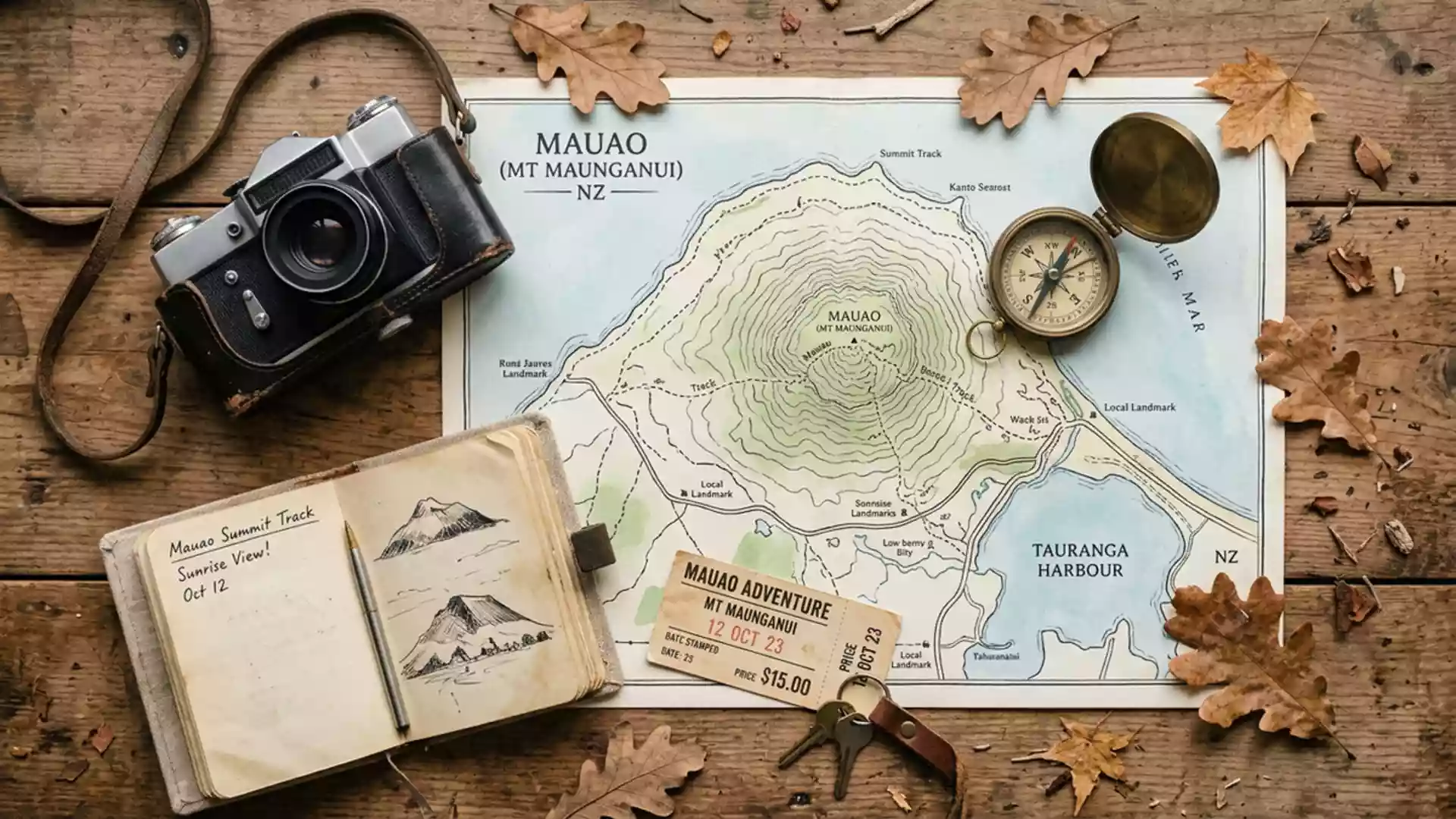
Mauao in Tauranga: a lava dome above sea and harbour
Published on 09/01/2026 at 11:20 | Editorial responsibility: Rafael Müller, Editor-in-Chief AD HOC NEWS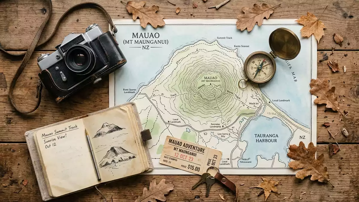
Mauao, the ancestral mountain above Tauranga’s Bay of Plenty coast, is a compact lava dome that lifts grassed slopes and rocky crags above ocean surf and sheltered harbour waters in New Zealand’s North Island. Its rounded form, M?ori name and dual outlook over Pacific swells and Tauranga Harbour make it a landmark where geology, coastal setting and cultural history meet in a single, walkable hill.
A lava dome at the entrance to Tauranga Harbour
Mauao stands beside the eastern entrance to Tauranga Harbour, forming the headland at the end of the peninsula occupied by the suburb commonly known as Mount Maunganui.the headland at the harbour entrance From the lower streets the mountain rises in a single dome, its slopes falling to sandy ocean beaches on one side and to the calmer harbour shoreline on the other. Visitors approaching by road see Mauao as a volcanic cone with grass, low scrub and rock faces, bounded by sea on three sides and by the narrow neck of land that links it to the wider Tauranga area.bounded by sea on three sides
Geologists describe Mauao as a rhyolite lava dome, part of the Northern Volcanic Plateau ecological region and composed largely of Pleistocene rhyolitic rock.a rhyolite lava dome The summit rises to about 232 m (761 ft) above sea level, giving wide views along the Bay of Plenty coast and across Tauranga Harbour while remaining modest enough in height to sit visually within the surrounding townscape.about 232 m above sea level
M?ori ancestral mountain and historic reserve
The name Mauao is deeply rooted in Tauranga Moana traditions, translating as “caught in the light of the day” or “caught by the dawn” and referring to a narrative in which the mountain, once nameless, was drawn towards the sea before being fixed in place by sunrise.caught in the light of the day In te reo M?ori, Mauao is described as a sacred t?puna maunga, an ancestral mountain, for the Tauranga Moana iwi Ng?i Te Rangi, Ng?ti P?kenga and Ng?ti Ranginui, and for the Te Arawa iwi Waitaha.sacred t?puna maunga for Tauranga iwi
The slopes and summit form part of the Mauao Historic Reserve, which preserves an extensive archaeological landscape representing several centuries of occupation.Mauao Historic Reserve Archaeologists have recorded multiple p? complexes on the mountain, with terraces, pits, platforms, house floors and shell middens visible across an area of around 40 hectares.terraces and middens across the reserve Title to the historic reserve is vested in the Mauao Trust, an iwi body representing Ng?i Te Rangi, Ng?ti Ranginui and Ng?ti P?kenga, and management is shared with Tauranga City Council through the joint administration board Ng? Poutiriao ? Mauao.Ng? Poutiriao ? Mauao joint board
Tracks, views and coastal setting
Walking tracks contour the base of Mauao and climb its flanks, connecting grassy lower slopes, forested sections and rocky outcrops with a summit area that looks out over ocean, harbour, town and distant ranges.walking tracks around and up Mauao The base circuit follows the shoreline around much of the dome, passing steep faces and lower gullies where the lava meets sand and sediment, while summit routes rise more directly to the crest, sometimes via stepped sections and sometimes along narrower, steeper paths. The historic reserve’s terraces, earthworks and archaeological features can be seen from several of these paths, especially where the vegetation opens to reveal cut platforms and storage pits.
Mauao’s coastal position shapes the views from its slopes, which take in the surf beach along the ocean side, the inner harbour with moored vessels and industrial facilities, and the broader Bay of Plenty coastline stretching towards other headlands. From the summit the town’s street grid appears compact against the curve of the sand, while offshore islands and the wider Pacific horizon frame the scene. The combination of volcanic rock, archaeological traces and the twin outlook over ocean and harbour gives the mountain a character different from inland peaks, emphasising its role as both geological feature and maritime marker at Tauranga’s entrance.
Visiting Mauao: what travellers from Western Europe should know
- Mauao stands at the end of the Mount Maunganui peninsula within Tauranga on New Zealand’s North Island, reached by road connections from the wider Bay of Plenty region.
- The mountain is a low summit at about 232 m (761 ft), with walking tracks that include sections of sustained gradient and staircases on the steeper flanks.
- The terrain combines grassed slopes, sections of coastal forest and exposed volcanic rock, and paths can pass close to historic terraces and archaeological earthworks.
- The official language is English and the currency is the New Zealand dollar.
- Entry requirements depend on your nationality; UK travellers can check the FCDO travel advice at gov.uk/foreign-travel-advice, Irish travellers the Department of Foreign Affairs at ireland.ie.
Searching for Mauao on social platforms
These links open searches for Mauao on each platform.Frequently asked questions about Mauao
Where is Mauao located?
Mauao rises at the entrance to Tauranga Harbour on New Zealand’s North Island, forming the coastal headland beside the suburb known as Mount Maunganui.
What can visitors expect on a visit to Mauao?
Visitors encounter a low volcanic mountain with grass, forest and coastal rock, walking tracks, extensive archaeological earthworks and wide views over ocean surf and harbour.
What makes Mauao distinctive compared with other hills?
Mauao combines a rhyolite lava dome, its role as a M?ori ancestral mountain and its twin outlook over the Bay of Plenty coast and Tauranga Harbour within one compact summit.