
Mu Ko Similan, granite islands in the Andaman Sea
Published on 09/15/2026 at 08:13 | Editorial responsibility: Rafael Müller, Editor-in-Chief AD HOC NEWS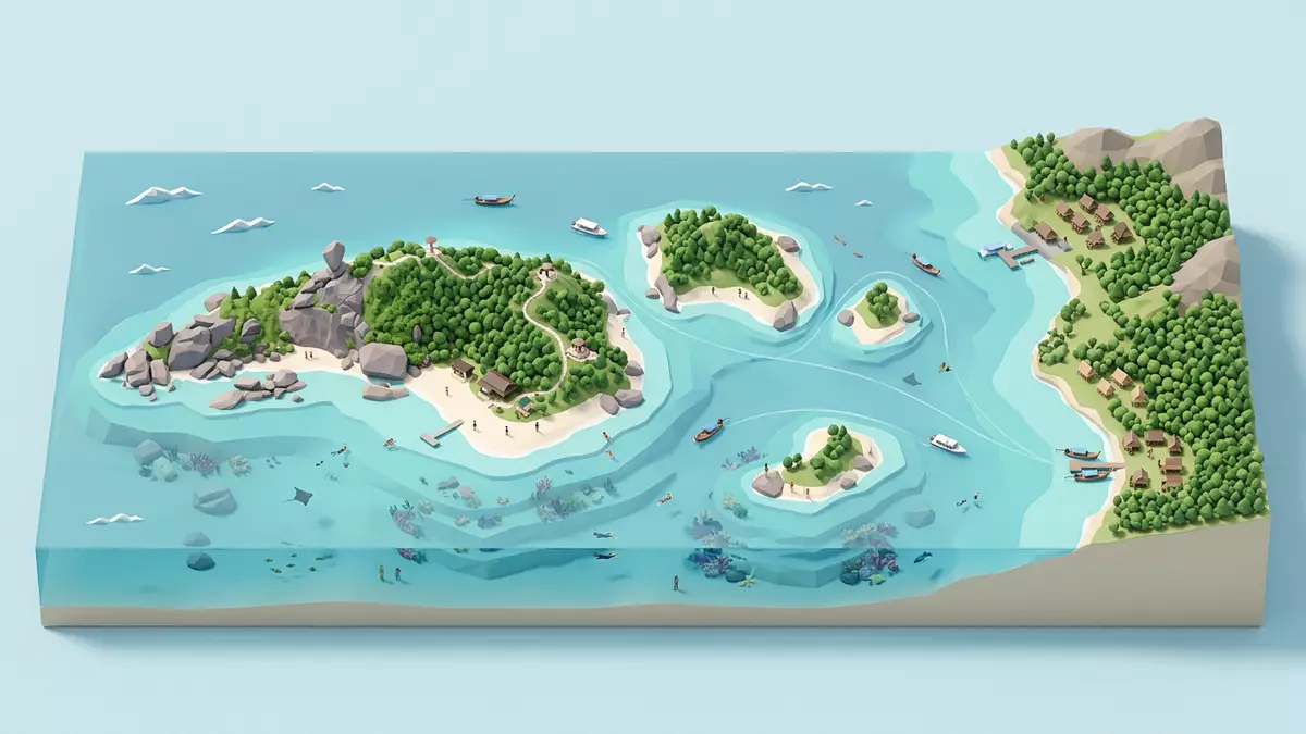
Mu Ko Similan is a granite island archipelago in the Andaman Sea off Phang Nga in southern Thailand, protected as Mu Ko Similan National Park since 1982 and known for its sharp meeting of rock, sand and sea.
Granite islands strung across the Andaman Sea
Mu Ko Similan is a continental island group in the Andaman Sea off the western coast of Phang Nga Province in southern Thailand, forming a marine national park that covers both land and water.continental archipelago in the Andaman Sea The archipelago lies offshore from Lam Kaen and Thai Mueang District, reached by boat from piers on the mainland such as Thap Lamu. The islands stand as granite masses rising from deep water, their slopes dropping into clear sea around the fringes of each island.
The national park takes its name from the Similan Islands, a group historically counted as nine islands, with two further islands later added to the protected area to the north.group of nine islands Together these islands form Mu Ko Similan National Park, recorded as Thailand’s 43rd national park, giving legal protection to the granite islands, surrounding reefs and marine life.Thailand’s 43rd national park The protected area extends across roughly 140 square kilometres (54 square miles), of which a smaller share is land and the rest sea.
A marine national park shaped by reef and forest
Mu Ko Similan National Park was formally established in 1982, part of a wave of protected-area designations along Thailand’s Andaman coast that recognised the ecological value of offshore granite islands and their surrounding reefs.Mu Ko Similan National Park The park lies within coordinates around latitude 8 degrees 28 minutes to 9 degrees 15 minutes north, and longitude 97 degrees to 97 degrees 50 minutes east, marking its position well out in the Andaman Sea. Within this frame, the islands carry dry-evergreen forest, beach forest and communities of plants adapted to granite rock outcrops.vegetation on granite rock outcrops
Beneath the sea, Mu Ko Similan is known for extensive coral reefs that cover the seafloor down to depths of around 30 m (98 ft), classed as deep water reefs within Thailand.coral reefs down to 30 m The islands’ shorelines curve around granite headlands, and many bays and beaches have pale sand set against dark rock and clear water. This combination of forest, granite and reef makes Mu Ko Similan a compact cross-section of Andaman marine and terrestrial ecosystems within one protected archipelago.area of approximately 140 square kilometres
Names, layout and access from Phang Nga
The name “Similan” is linked to the Malay word for nine, reflecting the original count of islands recognised in the group before Ko Bon and Ko Tachai expanded the protected chain to the north.Similan means nine in Malay In Thai the park is written as “???????????????”, transliterated as Mu Ko Similan, and appears under that name in official documents and protected-area lists. The park area is recorded at around 14,000 hectares in one overview of Andaman reserves, showing its scale among neighbouring marine parks along the same coast.Mu Ko Similan National Park covers 14,000 hectares
Access to Mu Ko Similan runs from Phang Nga’s mainland coast, with Thap Lamu Pier near Lam Kaen in Thai Mueang District serving as the main departure point for boats out to the islands.Thap Lamu Pier near Lam Kaen Park headquarters sit onshore in Lam Kaen, where administrative buildings and ranger facilities support the management of the island group. From the water, the islands present as a north–south chain of granite hills, with reef shelves and sand beaches at their margins and open Andaman Sea beyond.
Visiting Mu Ko Similan: what travellers from Western Europe should know
- Mu Ko Similan lies off the Andaman coast of Phang Nga Province in southern Thailand and is reached by boat from mainland piers such as Thap Lamu near Lam Kaen.
- The islands are granite hills rising from the sea, with approaches involving boat transfers and landings on beaches where paths climb through forest and over uneven rock.
- The archipelago sits out in the Andaman Sea, so conditions at sea and on the islands reflect an offshore environment with exposure to wind, swell and strong sun.
- The official language is Thai and the currency is the Thai baht.
- Entry requirements depend on your nationality; UK travellers can check the FCDO travel advice at gov.uk/foreign-travel-advice, Irish travellers the Department of Foreign Affairs at ireland.ie.
Searching for Mu Ko Similan on social platforms
These links open searches for Mu Ko Similan on each platform.
Frequently asked questions about Mu Ko Similan
Where is Mu Ko Similan located?
Mu Ko Similan lies in the Andaman Sea off the coast of Phang Nga Province in southern Thailand, reached by boat from mainland piers such as Thap Lamu.
What should visitors expect on a trip to Mu Ko Similan?
Visitors encounter granite islands with forest, pale sand beaches and surrounding coral reefs, with access involving boat travel and landings on offshore shores.
What makes Mu Ko Similan distinctive among Thailand’s marine parks?
The archipelago combines granite island topography, deep water coral reefs down to around 30 m and protected status as Mu Ko Similan National Park established in 1982.


