Pacific Rim National Park Reserve issues wave advisory to 8 November
Published on 11/07/2026 at 13:04 | Editorial responsibility: Rafael Müller, Editor-in-Chief AD HOC NEWSSafety changes during high surf
- Parks Canada issued the advisory for 6 November 2026 at beaches and shorelines in Pacific Rim National Park Reserve.
- The warning covers coastal activities, while Florencia Bay Lookout and the Kwisitis Visitor Centre observation deck were identified for viewing.
- Pacific Rim National Park Reserve was established in 1970 and became an officially designated national park reserve in 1999.
- Highway 4 connects the Long Beach Unit between Tofino and Ucluelet with Port Alberni.
Pacific Rim National Park Reserve (Réserve de parc national Pacific Rim) in Tofino is under an Extreme Wave Hazard Advisory from 6 to 8 November 2026, as powerful swells reach Vancouver Island's west coast. The warning changes how visitors should approach exposed beaches, shorelines and coastal waters during the storm period.
Extreme Wave Hazard Advisory covers 6 to 8 November
Parks Canada issued the advisory for beaches, shorelines and coastal waters in and around the reserve. A report on the wave advisory states that waves could reach seven metres on 6 November and as high as eight metres late on 7 November and into 8 November.
The combination of ocean swell, strong winds and high tides may push water beyond the normal shoreline. Parks Canada does not encourage coastal or aquatic activities during the advisory, while park staff monitor conditions. Beach access points and car parks may close temporarily if flooding becomes severe.
Pacific Rim's three units meet forest and sea
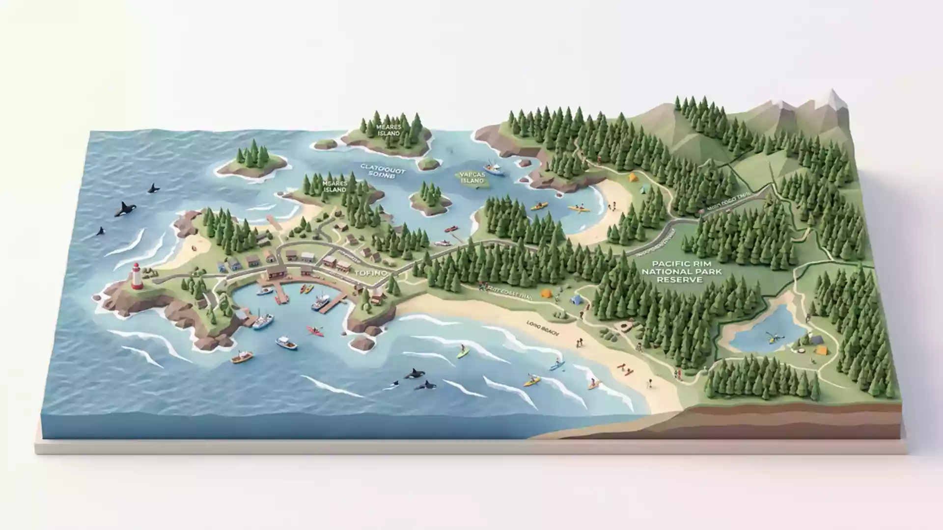
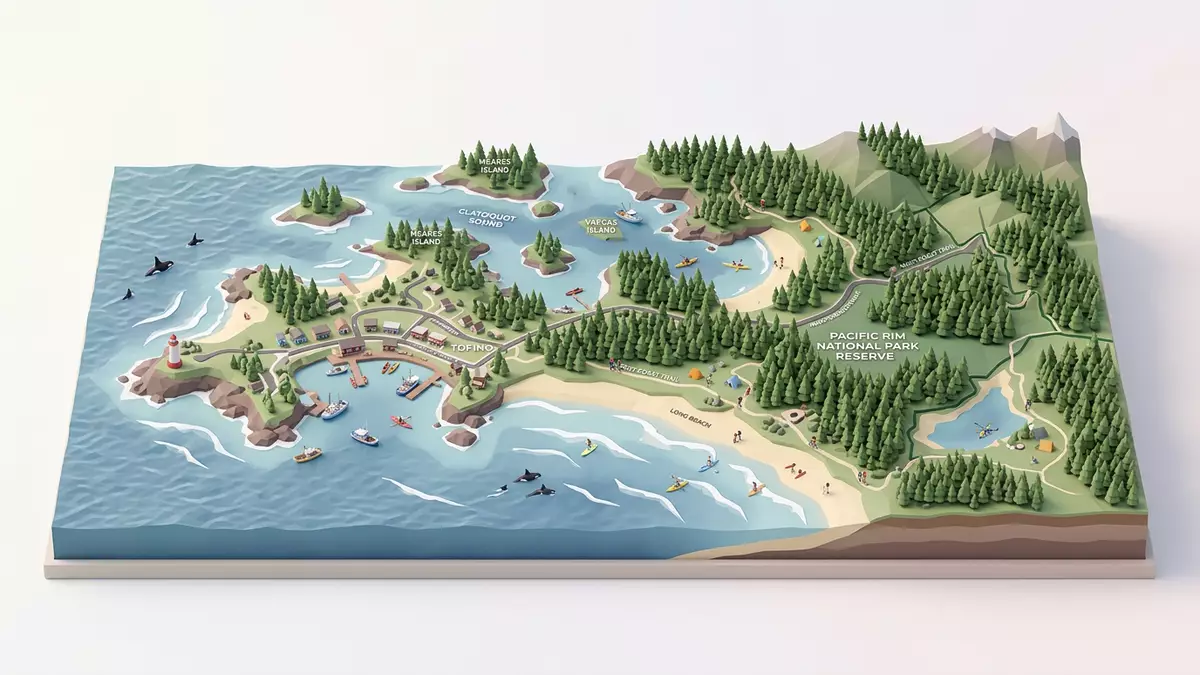
The reserve stretches 125 km along the outer west coast of Vancouver Island and covers 525 square kilometres. Its three geographically separate units are Long Beach, the Broken Group Islands and the West Coast Trail, bringing coastal rainforest and marine environments into the same protected area.
Pacific Rim was established in 1970 and became an officially designated national park reserve in 1999 under the Canada National Parks Act. That history matters during the advisory because the warning concerns the meeting point of protected land and open Pacific waters, not only a single beach. The Parks Canada state of the park report describes the reserve's three-unit structure and coastal setting.
Safer viewing points remain part of the guidance
Visitors interested in observing the surf were directed to the Florencia Bay Lookout and the observation deck at the Kwisitis Visitor Centre. These locations connect the storm-watching interest that draws people to the west coast with the restriction on entering exposed coastal areas.
The reserve's normal hazards include rip currents, cold water, high tides and rolling beach logs. The advisory adds rapidly changing wave conditions and possible upper-shoreline flooding, so a dry stretch of sand cannot be treated as a stable boundary during the affected period.
Visiting Pacific Rim National Park Reserve: what travellers from Western Europe should know
- The Extreme Wave Hazard Advisory runs from 6 November to 8 November 2026 across beaches, shorelines and coastal waters in and around the reserve.
- Parks Canada does not encourage coastal or aquatic activities during the advisory; possible temporary closures may affect beach access points and car parks.
- The Long Beach Unit lies between Tofino and Ucluelet on Vancouver Island. Highway 4 leads west from Port Alberni to the Tofino-Ucluelet junction.
- Exposed beaches, rocky shorelines, rip currents, high tides and rolling logs require particular care, especially during large swell.
- Canada's official languages are English and French, and the national currency is the Canadian dollar.
- Entry requirements depend on your nationality; UK travellers can check the FCDO travel advice at gov.uk/foreign-travel-advice, Irish travellers the Department of Foreign Affairs at ireland.ie.
Searching for Pacific Rim National Park Reserve on social platforms
These links open searches for Pacific Rim National Park Reserve on each platform.
Frequently asked questions about Pacific Rim National Park Reserve
When does the Extreme Wave Hazard Advisory take place at Pacific Rim National Park Reserve?
The advisory covers 6 to 8 November 2026 and concerns beaches, shorelines and coastal waters in and around the reserve.
What does the advisory change for visitors?
Parks Canada does not encourage coastal or aquatic activities during the advisory. Florencia Bay Lookout and the Kwisitis Visitor Centre observation deck were identified as viewing points.
Where is Pacific Rim National Park Reserve and how do you get there?
The Long Beach Unit is between Tofino and Ucluelet on Vancouver Island. Highway 4 leads west from Port Alberni to the Tofino-Ucluelet junction.