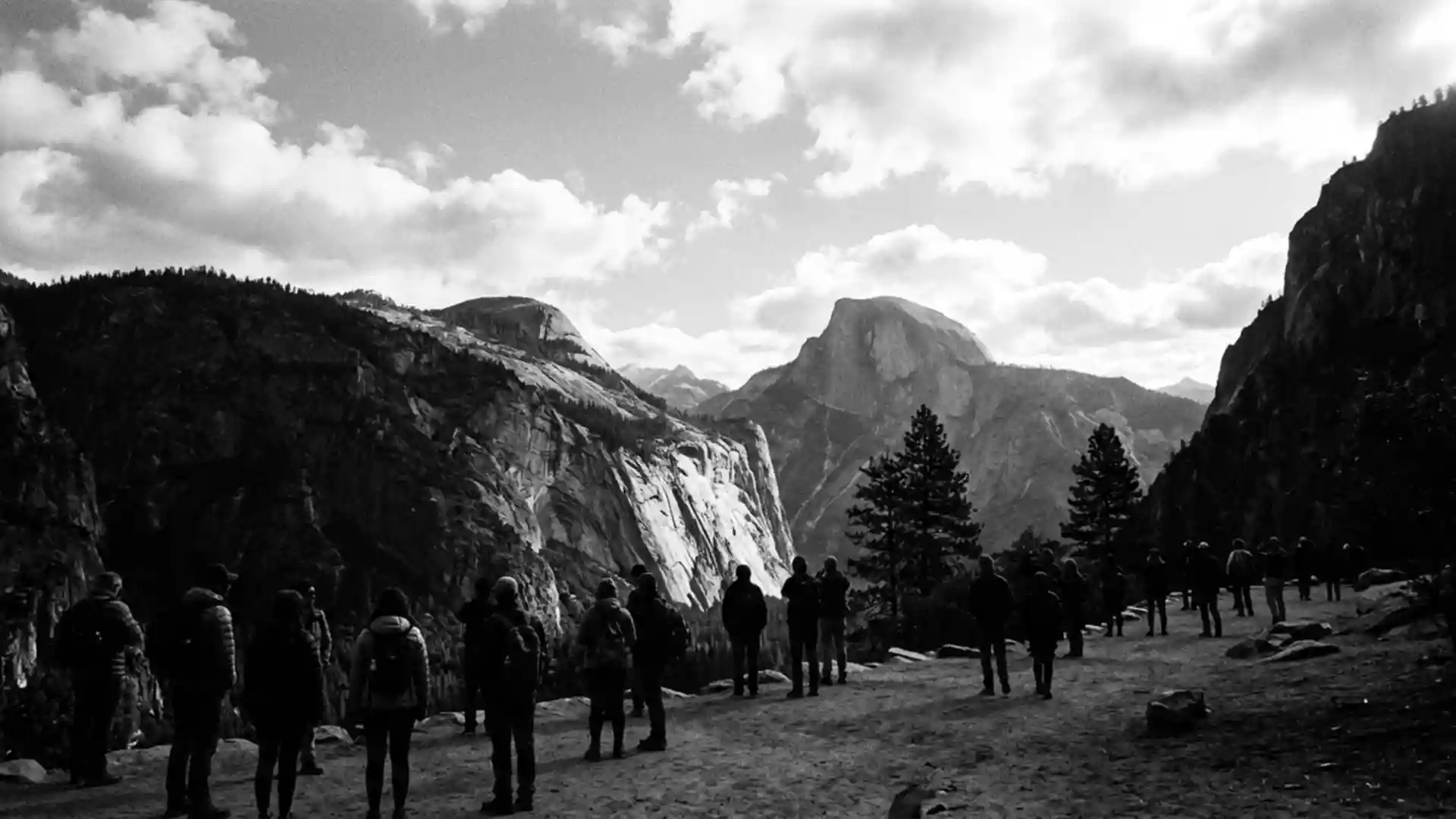
Park officials close roads in Yosemite National Park on 29 October
Published on 10/31/2026 at 16:03 | Editorial responsibility: Rafael Müller, Editor-in-Chief AD HOC NEWSSnow access and high-country routes
- The National Park Service announced a temporary closure of Tioga Road and Glacier Point Road for 29 October 2026.
- Tioga Road crosses Highway 120, while Glacier Point Road leads towards the park's high-country viewpoints.
- Yosemite National Park was designated in 1890 and became a UNESCO World Heritage site in 1984.
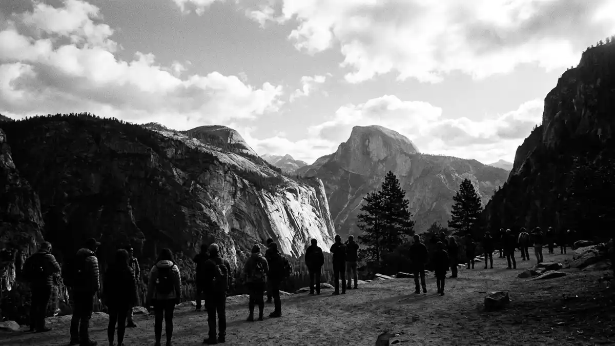
Yosemite National Park is dealing with a temporary road closure announced for 29 October 2026, when snow was forecast across the higher elevations. The National Park Service said Tioga Road and Glacier Point Road would close at 6pm, while Yosemite Valley remained the central visitor area.
Yosemite National Park closure follows the first snow forecast
The National Park Service announced that both roads would close temporarily because of the forecast. Its notice said officials would assess road conditions after the storm, making the change a weather-related access measure rather than a declared seasonal closure.
The announcement concerns two major routes within the park. Tioga Road continues Highway 120 through the Sierra Nevada, while Glacier Point Road provides the vehicle approach to Glacier Point and other high-country viewpoints. The park's current conditions page lists Tioga Road as closed and Glacier Point Road as open, alongside the notice about the temporary closure.
Visitors planning a journey from Western Europe should therefore treat the roads separately and check the latest status before travelling. The announcement does not close Yosemite Valley or the park as a whole, and the main valley roads remain the practical reference for visits focused on the valley.
Tioga Road and Glacier Point Road serve different routes
The two roads connect different parts of the protected landscape. Tioga Road forms the continuation of Highway 120 through the park, linking the valley area with the high country and the eastern side of the Sierra Nevada.
Glacier Point Road is a spur from Highway 41 and leads towards Glacier Point, a viewpoint above Yosemite Valley. The route and its destination are part of the park's wider network of granite cliffs, domes, waterfalls and glacially shaped valleys.
That geography explains why the 29 October road closure matters even when Yosemite Valley remains accessible. A visitor may be able to reach the valley while losing vehicle access to high-elevation roads and their viewpoints, so the weather notice changes the practical shape of a park visit.
UNESCO describes Yosemite's glacial landscape as including hanging valleys, waterfalls, polished domes and U-shaped valleys. The United States designated the park in 1890, and UNESCO added it to the World Heritage List in 1984.
Yosemite Valley remains the main access reference
Yosemite Valley is the most useful orientation point for travellers visiting the park's central sights. The valley contains meadows, forest, the Merced River and the granite walls that define the landscape, while the two roads affected by the announcement lead beyond this core area.
The National Park Service's road notice gives a telephone route for updates: 209-372-0200, followed by 1 and 1. The official announcement also advises checking the forecast before setting out, since snow can alter access quickly in the higher country.
Visiting Yosemite National Park: what travellers from Western Europe should know
- The temporary road closure was announced for 29 October 2026 and concerns Tioga Road and Glacier Point Road.
- Access is weather-sensitive: the current conditions listing records Tioga Road as closed and Glacier Point Road as open, so the two routes require separate checks.
- Yosemite Valley is in California, United States, and is reached through roads including Highway 140, Highway 41 and Highway 120.
- High-country travel involves mountain roads, granite terrain and possible snow conditions, while Yosemite Valley itself contains roads, meadows, forest and river landscapes.
- Entry requirements depend on your nationality; UK travellers can check the FCDO travel advice at gov.uk/foreign-travel-advice, Irish travellers the Department of Foreign Affairs at ireland.ie.
Road conditions should be checked before departure because the 29 October notice was temporary and subject to reassessment after the storm.
Searching for Yosemite National Park on social platforms
These links open searches for Yosemite National Park on each platform.
Frequently asked questions about Yosemite National Park
What changed at Yosemite National Park on 29 October 2026?
The National Park Service announced a temporary closure of Tioga Road and Glacier Point Road because of a forecast of snow.
Which roads were affected by the closure?
Tioga Road, the Highway 120 route through the park, and Glacier Point Road, the spur towards Glacier Point, were named in the announcement.
Where is Yosemite National Park and how do you get there?
The park is in California, United States, with Yosemite Valley reached through routes including Highway 140, Highway 41 and Highway 120.