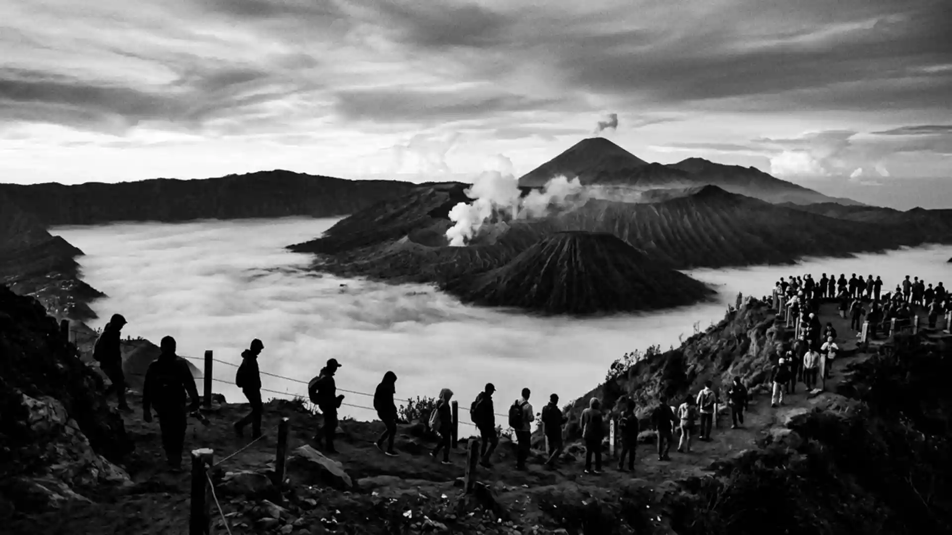
Park officials restrict Mount Bromo after 5 November eruption
Published on 11/07/2026 at 15:56 | Editorial responsibility: Rafael Müller, Editor-in-Chief AD HOC NEWSAccess and volcanic setting
- The 5 November 2026 eruption was followed by evacuation-route work from Probolinggo BPBD.
- The one-kilometre restriction covers the active crater, its steps and part of the Sea of Sand.
- UNESCO nominated the surrounding biosphere reserve in 2015 and records Mount Bromo at 2,392 metres.

After an eruption at Mount Bromo (Gunung Bromo) in Probolinggo, Indonesia, on 5 November 2026, park officials restricted access around the active crater. The tourist area remains open beyond the exclusion zone, but visitors must follow updated safety instructions.
Mount Bromo access changes after November eruption
The eruption occurred on 5 November 2026 and sent an ash column about 500 metres above the summit. The event was the first eruption recorded there in 2026, while the volcano remained at alert level II, or Alert.
The management of Bromo Tengger Semeru National Park limited activity within one kilometre of the active crater. The restricted zone includes the steps leading towards the crater and part of the Sea of Sand, according to the park restriction report.
The exclusion zone followed recommendations from Indonesia’s Centre for Volcanology and Geological Hazard Mitigation, known as PVMBG. Officials also warned that phreatic eruptions can occur suddenly without clear preceding volcanic signs, so the restriction is a direct change to the crater visit rather than a full closure of the tourist area.
The volcano, the caldera and the protected landscape
The volcano stands in East Java within Bromo Tengger Semeru National Park, with Probolinggo among the access regions around the protected landscape. The park combines the active crater with the Tengger caldera, its volcanic sand plain and surrounding highland terrain.
UNESCO lists Mount Bromo as part of the Bromo Tengger Semeru-Arjuno Biosphere Reserve, nominated in 2015. Its profile records the active volcano at 2,392 metres above sea level and describes a reserve containing rainforest, savannah, desert and sub-alpine ecosystems. The designation is documented in the UNESCO reserve profile.
That setting explains why the new rule affects more than a single viewpoint. The crater steps lead into the area closest to the active vent, while the Sea of Sand forms part of the wider visitor landscape below the cone. The 5 November 2026 eruption therefore changes the central crater experience while leaving other parts of the tourist area available under official guidance.
Local authorities prepare for further activity
On 6 November 2026, Probolinggo’s Disaster Mitigation Agency began remapping evacuation routes and shelters in preparation for a possible renewed eruption. The agency said it was coordinating with the volcano observatory and national park officials while monitoring activity.
The same report recorded an ash column 500 metres above the summit, a seismic amplitude of 23 millimetres and an eruption duration of 46 seconds. It also confirmed that the alert status had not changed and that visitors were prohibited from entering within one kilometre of the active crater. The update from Probolinggo’s mitigation agency links the access rule to the current volcanic response.
Visiting Mount Bromo: what travellers from Western Europe should know
- The relevant event is the 5 November 2026 eruption at the volcano in Bromo Tengger Semeru National Park, East Java.
- The tourist area remains open outside the one-kilometre zone around the active crater, but the crater steps and part of the Sea of Sand fall within the restricted area.
- The site is in the Probolinggo region of East Java, within a national park shared by several surrounding access areas.
- The landscape includes a steep route to the crater and volcanic sand terrain; the crater approach is affected by the current restriction.
- Indonesia’s official language is Indonesian and its national currency is the Indonesian rupiah.
- Entry requirements depend on your nationality; UK travellers can check the FCDO travel advice at gov.uk/foreign-travel-advice, Irish travellers the Department of Foreign Affairs at ireland.ie.
Searching for Mount Bromo on social platforms
These links open searches for Mount Bromo on each platform.
Frequently asked questions about Mount Bromo
What changed at Mount Bromo after the eruption?
Visitors must remain at least one kilometre from the active crater, including its steps and part of the Sea of Sand.
Where is Mount Bromo and how do you get there?
It is in East Java, Indonesia, in Bromo Tengger Semeru National Park near the Probolinggo region.
What is Mount Bromo?
It is an active volcano in the Bromo Tengger Semeru-Arjuno Biosphere Reserve, which UNESCO nominated in 2015.