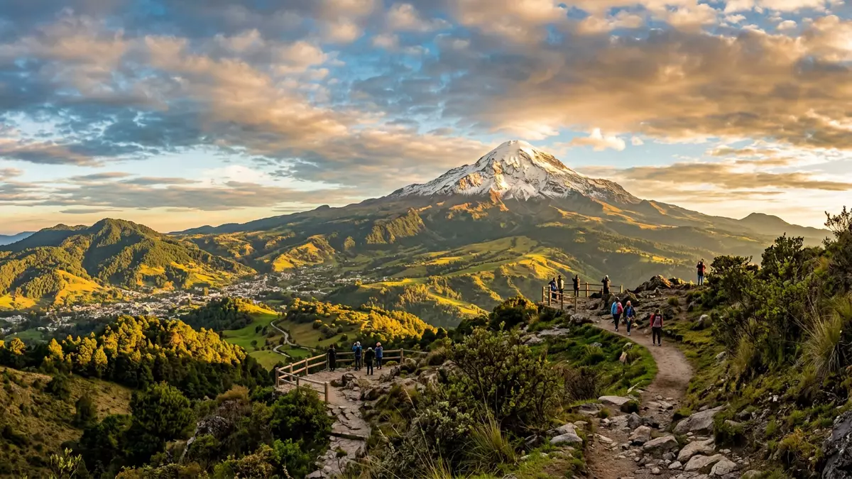
Pico de Orizaba, Mexico’s summit above the clouds
Published on 08/06/2026 at 22:26 | Editorial responsibility: Rafael Müller, Editor-in-Chief AD HOC NEWS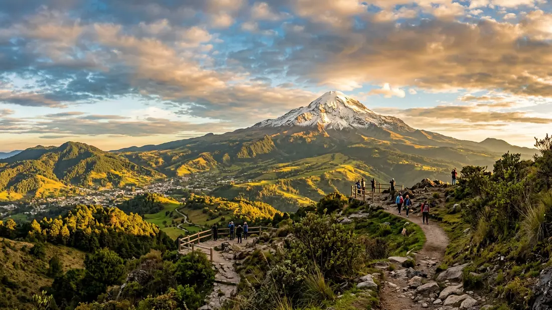
Pico de Orizaba, also known as Citlaltépetl, rises between the Mexican states of Puebla and Veracruz and dominates the skyline above the city of Orizaba. This stratovolcano is the highest mountain in Mexico and one of the highest volcanic peaks in North America, reaching more than 5,600 m (over 18,000 ft). Its broad, symmetrical cone, often streaked with snow and ice, gives Western European travellers a rare glimpse of high-altitude Andean-style scenery without leaving North America.
A glacier-capped volcano on the Mexican high plateau
Pico de Orizaba stands on the eastern edge of Mexico’s central high plateau, where the land drops towards the Gulf of Mexico. The volcano forms part of the Trans-Mexican Volcanic Belt, a chain of peaks that includes Popocatépetl and Iztaccíhuatl to the west. From the lower valleys around Orizaba and Ciudad Serdán, the mountain rises in a long slope of fields, forests and bare rock towards its ice-covered upper cone.
The summit area carries permanent ice and glaciers that cling to the upper slopes, a striking contrast with the tropical lowlands only a few dozen kilometres away. On a clear day, the snowfields catch the light above dark lava ridges and gullies that cut down the flanks. From distance, the volcano appears as a single, clean pyramid above the surrounding hills, an outline that has been used for centuries as a natural reference point for travellers crossing central Mexico.
Climbing routes and high-altitude landscapes
For experienced mountaineers, Pico de Orizaba is a classic high-altitude objective on the North American continent. The standard route from the north, often called the Jamapa Glacier route, starts from high camps reached by rough tracks and continues on foot over moraine and glacier ice. Above the last rocky outcrops, climbers cross crevassed snow slopes towards the crater rim, where the air is markedly thin and progress slows.
Less technical visitors do not need to aim for the summit to experience the mountain. Tracks and paths reach high pastures and volcanic rock zones, where the vegetation thins and views open towards the Gulf of Mexico and the Mexican plateau. On clear mornings, the silhouettes of other volcanoes in the belt, including Cofre de Perote and the distant bulk of Popocatépetl, line the horizon. Even at moderate altitudes the landscape feels distinctly alpine, with cold nights, sparse grasses and scattered shrubs clinging to pumice and lava.
Cultural, historical and natural context
Pico de Orizaba held significance long before organised mountaineering reached Mexico. The Náhuatl name Citlaltépetl is commonly translated as “Star Mountain”, a reference that links the peak with celestial navigation and indigenous cosmology. In the colonial period, Spanish travellers and cartographers used the volcano as a landmark on east–west routes between the Gulf ports and the inland capital, then known as Mexico City.
Geologically, the volcano is part of a subduction-related arc that has been active through the late Quaternary period. The current cone sits on older volcanic structures, and historical reports describe eruptions in the sixteenth and seventeenth centuries, although the mountain has been quiet for generations. The combination of altitude, latitude and prevailing winds supports glaciers despite the mountain’s position in the tropics, making Pico de Orizaba an important site for scientists studying climate, ice retreat and high-mountain ecosystems in Mexico.
Visiting Pico de Orizaba: what travellers from Western Europe should know
- Pico de Orizaba is reached by road from the city of Orizaba and other nearby towns, with further access towards the mountain on local tracks and paths.
- Admission arrangements and opening hours are set by the site's operator and change with the season; the official website is the only binding source.
- Conditions at altitude can be cold and changeable; many visitors prefer the drier months, and early mornings often offer the clearest views.
- The mountain involves high altitude, steep paths, loose volcanic rock and, on the upper slopes, ice and snow, so expect strenuous walking and thin air.
- Spanish is the dominant language in the region, payments are commonly made in Mexican pesos, and restrictions may apply on site in protected areas.
- Entry requirements depend on your nationality. UK travellers should check the FCDO travel advice at gov.uk/foreign-travel-advice; Irish travellers the Department of Foreign Affairs at ireland.ie; EU and EEA citizens their own national foreign ministry.
Searching for Pico de Orizaba on social platforms
These links open searches for Pico de Orizaba on each platform.Frequently asked questions about Pico de Orizaba
Where is Pico de Orizaba?
Pico de Orizaba stands between the Mexican states of Puebla and Veracruz, north of the city of Orizaba in eastern central Mexico.
What can visitors expect when they visit?
Visitors encounter a high volcanic peak with snow and ice on its upper slopes, steep paths, thin air at altitude and wide views over the Mexican plateau.
What makes Pico de Orizaba distinctive?
Pico de Orizaba is the highest mountain in Mexico, a glacier-capped stratovolcano whose broad cone rises sharply above surrounding hills and tropical lowlands.