Placencia, Belize: a sand-fringed village at the end of a peninsula
Published on 09/01/2026 at 14:13 | Editorial responsibility: Rafael Müller, Editor-in-Chief AD HOC NEWS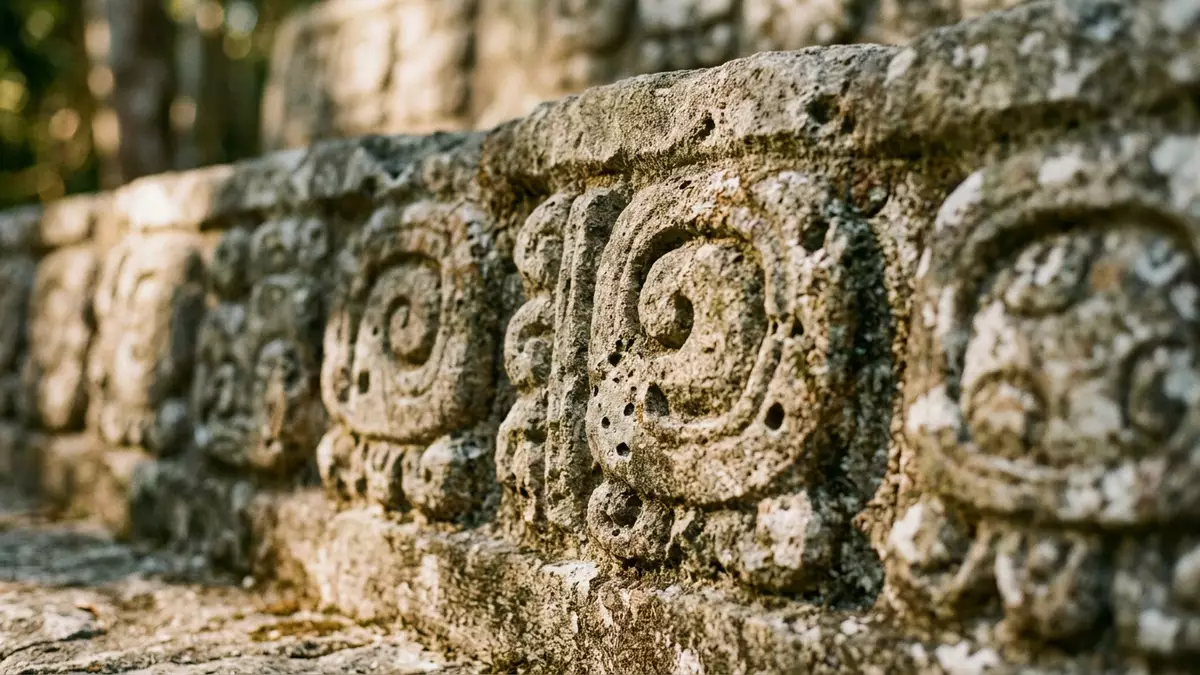
Placencia is a small seaside village in southern Belize, set at the tip of a long Caribbean peninsula where golden sand, mangrove lagoon and compact streets meet in a narrow space. The village sits within the Stann Creek District and has grown from a fishing community into a laid-back coastal settlement that still feels closely tied to the water and the surrounding landscape.
A village at the end of the Placencia Peninsula
Placencia lies on the southern tip of the Placencia Peninsula, a narrow strip of land that stretches for roughly 16 miles (around 26 km) along Belize’s south-eastern coast, with the Caribbean Sea on one side and a sheltered lagoon on the other.Placencia Peninsula The peninsula itself forms part of the Stann Creek District in southern Belize, and the village occupies its furthest point, where streets and houses cluster close to the shoreline.southern Belize peninsula
The wider peninsula includes communities such as Riversdale, Maya Beach and Seine Bight, running north to south before reaching Placencia Village at the end.communities along the peninsula Sand beaches line much of this coast, while littoral forest and mangrove fringe the calmer lagoon side, giving the village a setting where sea, vegetation and low-rise buildings sit in close proximity.
From Maya salt works to a fishing community
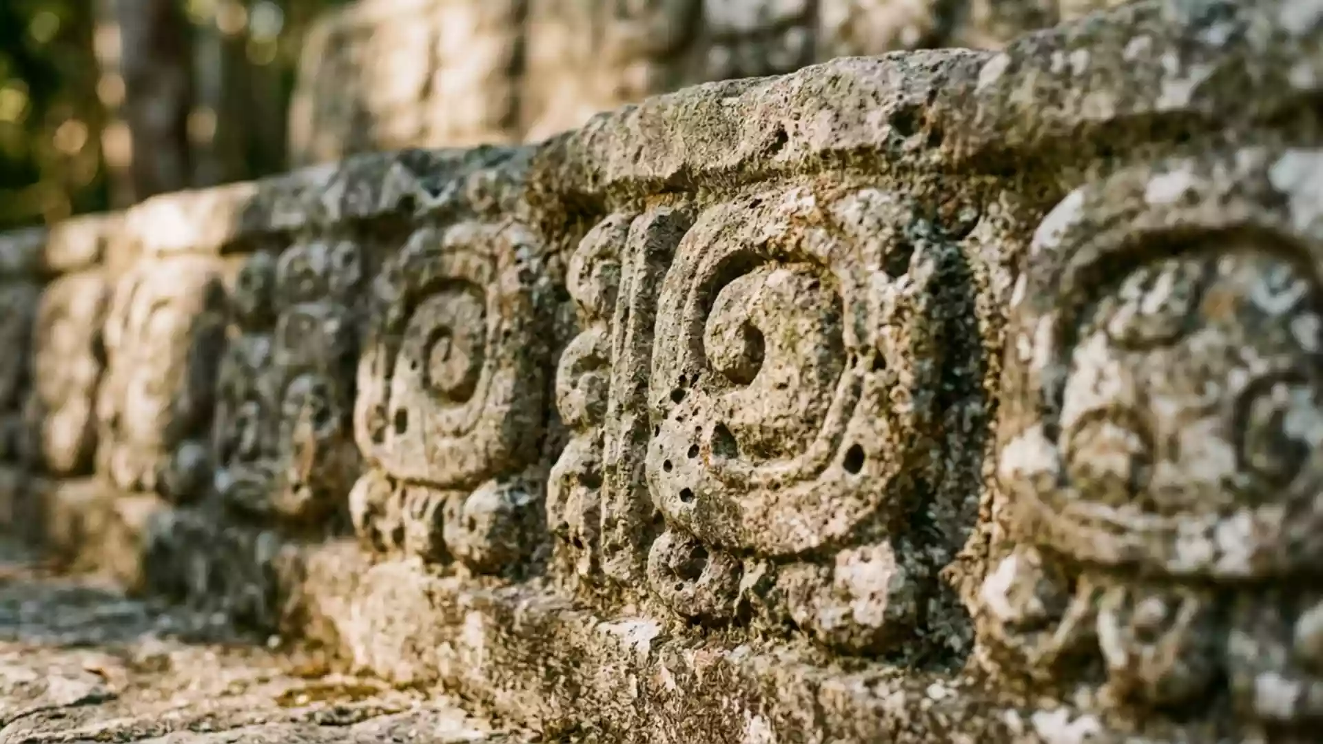
Long before the modern village took shape, the Placencia Peninsula formed part of a coastal landscape used by Maya communities for salt production and trade with other settlements along the shore.Maya salt production and trade Archaeological work has identified numerous sites around the Placencia Lagoon, pointing to organised salt making and coastal exchange as important activities here.Maya sites along the peninsula
In the seventeenth century, English Puritans from Nova Scotia and Providence Island established a settlement on the peninsula, which later disappeared during the independence conflicts in Central America.Puritan settlement and later decline The name Placencia traces back to Spanish navigators, who used the term Placentia and referred to the point as Punta Placentia, often translated as Pleasant Point.Punta Placentia, Pleasant Point In the late nineteenth century, families such as the Garbutts, Westbys and Eileys resettled the peninsula and developed a village life based on fishing and coconut cultivation.Garbutt, Westby and Eiley families
Sand, sea and compact streets
Placencia Village today forms a compact settlement where houses, small guesthouses and local businesses line sandy lanes and waterfront plots close to the beach. The coast around the village is characterised by pale sand and shallow water, with palms and low vegetation marking the boundary between street and shore.white sand beaches and shoreline On the lagoon side, mangrove and calmer water give a different character, with views inland towards the Maya Mountains across the broad expanse.
The streets of Placencia contain a mixture of older wooden buildings and more modern concrete structures, many painted in bright colours that stand out against the pale sand and blue water. Small-scale accommodation and local eateries are part of this streetscape, reflecting the village’s development from a fishing base into a coastal settlement with a strong link to tourism, while retaining its modest scale and low-rise profile.beachfront establishments and village layout
Visiting Placencia: what travellers from Western Europe should know
- Placencia is reached along the Placencia Peninsula in southern Belize, with road access from the national network and a small domestic airport serving the village area.
- The settlement sits on low-lying coastal terrain, with sandy ground underfoot, stretches of beach and sections of walkway where pavements and tracks run close to the sea.
- The official language is English and the currency is the Belize dollar.
- Entry requirements depend on your nationality; UK travellers can check the FCDO travel advice at gov.uk/foreign-travel-advice, Irish travellers the Department of Foreign Affairs at ireland.ie.
Searching for Placencia on social platforms
These links open searches for Placencia on each platform.Frequently asked questions about Placencia
Where is Placencia located in Belize?
Placencia is a village in the Stann Creek District of southern Belize, situated at the southern tip of the Placencia Peninsula between the Caribbean Sea and a lagoon.
What can visitors expect on a visit to Placencia?
Visitors encounter a small seaside village with sand beaches, low-rise colourful buildings, lagoon views and a setting that reflects both fishing traditions and coastal relaxation.
What makes Placencia distinctive among Belize’s coastal settlements?
Its position at the very end of a long, narrow peninsula, with sea on one side, lagoon on the other and a history linking Maya salt works, colonial settlement and fishing families, gives Placencia a particular character.