Rocky Mountain National Park plans burn from late October
Published on 10/31/2026 at 09:34 | Editorial responsibility: Rafael Müller, Editor-in-Chief AD HOC NEWSPrescribed fire and visitor access
- Park officials announced the Beaver Meadows project on 27 October 2026.
- The 437-acre treatment may affect traffic on U.S. 36 and Bear Lake Road.
- Established in 1915, the park covers 415 square miles in Colorado.
Rocky Mountain National Park in Estes Park announced a prescribed burn project on 27 October 2026, with operations planned from late October through the winter when conditions allow. The work will treat 437 acres on the park's eastern side.
A 437-acre burn near Beaver Meadows
The treatment area lies between Beaver Meadows Visitor Center and Bear Lake Road, including land south of High Drive. It covers the Eagle Cliff Unit and parts of the Headquarters Unit, where the park and the U.S. Wildland Fire Service plan to reduce grasses, light fuels and understory vegetation.
The operation is scheduled for weekdays over several days when weather, fuel and smoke conditions are suitable. The 27 October burn announcement said air quality and environmental regulations would be monitored before and during the work. Smoke could remain visible inside and outside the park for three to 10 days after ignitions as fuels smoulder.
The project is intended to reduce the amount of vegetation that could carry wildfire towards Estes Park or park infrastructure. Earlier fuel treatments helped firefighters during the 2012 Fern Lake Fire and the 2020 East Troublesome Fire, according to Sky-Hi News coverage.
How the project relates to the mountain park
The planned work is concentrated near two important access points rather than in a remote backcountry area. Traffic controls may be used on U.S. 36 and Bear Lake Road, drivers may be escorted through active burn areas, and visitors will not be allowed to stop along roads inside the treatment zone.
Temporary road closures are possible during operations, so the burn connects a landscape-management decision directly with the way visitors reach eastern park areas. The project will also make smoke a practical consideration for people travelling near Beaver Meadows, particularly while crews are working and during the following days.
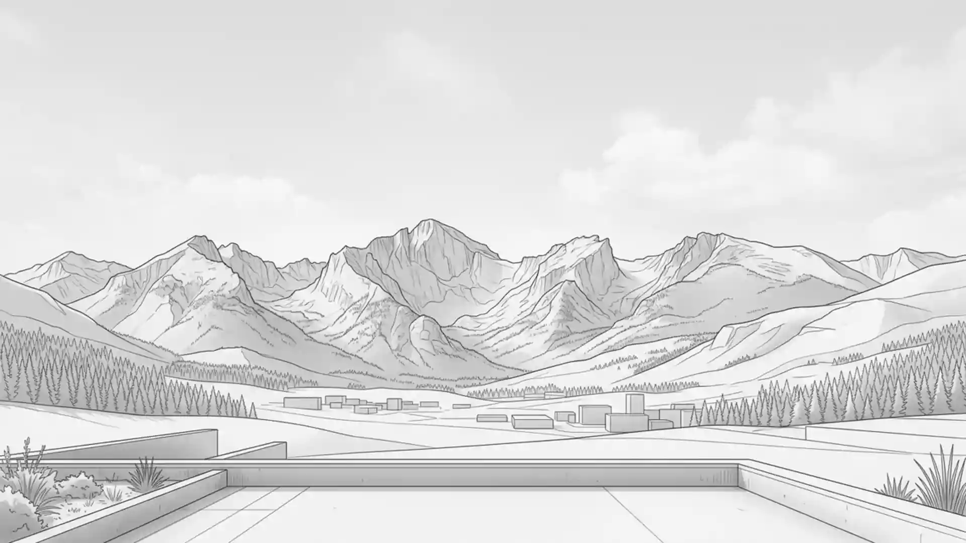
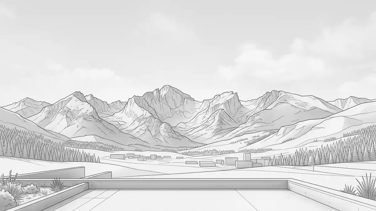
The park is in north-central Colorado near Estes Park and Grand Lake. The National Park Service says it was established on 26 January 1915 and covers 415 square miles of the southern Rocky Mountains, with the Continental Divide running through it. Its elevation ranges from 7,840 feet (2,390 metres) at Beaver Meadows Visitor Center to 14,259 feet (4,346 metres) at Longs Peak, as described in the official park brochure.
That combination of high country, forest and developed roads explains why the prescribed burn is both a landscape project and a visitor-access issue. The treatment area sits close to the eastern entrance network, while the park's wider terrain extends across alpine meadows, forests, lakes and peaks.
Visiting Rocky Mountain National Park: what travellers from Western Europe should know
- The prescribed burn was announced on 27 October 2026, with operations able to begin in late October and continue through the winter when conditions allow.
- During operations, traffic controls and temporary closures may affect U.S. 36 and Bear Lake Road near Beaver Meadows; visitors may be escorted and cannot stop within the burn area.
- The park is reached from Estes Park on the east side via U.S. Highway 36 and from Grand Lake on the west side via U.S. Highway 34, according to the National Park Service.
- Terrain ranges from 7,840 feet (2,390 metres) at Beaver Meadows Visitor Center to 14,259 feet (4,346 metres) at Longs Peak, and winter conditions can affect travel at higher elevations.
Searching for Rocky Mountain National Park on social platforms
These links open searches for Rocky Mountain National Park on each platform.
Frequently asked questions about Rocky Mountain National Park
When does the prescribed burn take place at Rocky Mountain National Park?
The project was announced on 27 October 2026 and may begin in late October, continuing through the winter when conditions are suitable.
What will change for visitors during the prescribed burn?
Traffic controls and temporary closures may affect U.S. 36 and Bear Lake Road, and visitors may be escorted through active areas.
Where is Rocky Mountain National Park and how do you get there?
The park is in north-central Colorado near Estes Park and Grand Lake, with eastern access via U.S. Highway 36 and western access via U.S. Highway 34.