
Sigiriya rises from Sri Lanka’s forest as a rock citadel
Published on 09/24/2026 at 03:14 | Editorial responsibility: Rafael Müller, Editor-in-Chief AD HOC NEWS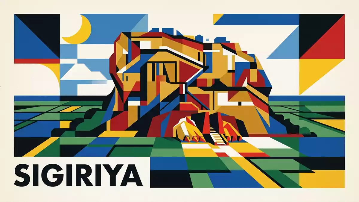
Sigiriya rises above the forests of central Sri Lanka as a broad granite outcrop with a palace complex on its summit. The rock reaches about 180 m (590 ft) above the surrounding plain, while paths, gardens, ponds and walls occupy the ground below.
Sigiriya’s granite summit and royal city
Sigiriya is in Sri Lanka’s Central Province, near the town that carries the same name. Its English name, Lion Rock, refers to the monument’s historic entrance imagery and the passage leading towards the upper ruins.
King Kassapa I made Sigiriya his capital between 477 and 495 CE. The citadel combined a summit palace with an organised settlement, defensive walls, landscaped grounds and water features. UNESCO’s Sigiriya description records the capital’s ruins on the slopes and summit of the granite peak.
The summit is reached by a rising route across the rock face. Masonry platforms, stairways and gateways connect the lower gardens with the upper level, where foundations mark the former royal buildings. The visible remains are fragments of a planned citadel rather than a complete palace.
Gardens, water and the western rock face
The lower grounds contain pools, channels, terraces and garden layouts arranged around the central rock. These features form part of Sigiriya’s archaeological landscape, alongside the walls and routes that cross the plain.
Water management is a defining part of the site. Reservoirs, ponds, channels and fountains belong to the ancient landscape, while moats and embankments mark the fortified enclosure. The gardens are divided into distinct areas, including formal water gardens and spaces shaped around natural rock formations.
On the western face, painted figures survive in sheltered rock galleries. The paintings are associated with the fifth-century complex and use strong colours against the stone surface. Below them, the Mirror Wall carries historic graffiti written by visitors in earlier centuries.
The Mirror Wall and Sigiri graffiti connect the surviving architecture with written traces left by people who encountered the paintings and rock galleries.
From royal capital to protected heritage site
Sigiriya’s main royal phase belongs to the fifth century CE, but the surrounding caves also preserve evidence of Buddhist monastic activity from earlier centuries. Inscriptions in the wider area point to religious use before the palace complex.
After Kassapa I’s reign, the capital function of Sigiriya ended. Monastic use continued in parts of the site, and the rock and its surrounding gardens became an archaeological landscape containing buildings, inscriptions, paintings and hydraulic works.
The site entered the UNESCO World Heritage List in 1982. Its recognised significance includes ancient urban planning, architecture, landscape design, art and water management. Central Province’s Sigiriya overview identifies the rock as a major historical and archaeological site.
Sigiriya’s character comes from the relationship between vertical rock and horizontal planning. The summit ruins occupy a high natural platform, while the gardens and water features extend across the plain beneath it. The granite rock’s elevation places the summit at about 349 m (1,145 ft) above sea level.
Visiting Sigiriya: what travellers from Western Europe should know
- Sigiriya lies in Sri Lanka’s Central Province, near Dambulla. Road transport connects the site with towns in the Cultural Triangle.
- The ascent crosses steep ground and stairways on the rock face. The upper ruins stand on a summit about 180 m (590 ft) above the plain.
- The route includes exposed sections, masonry steps, rock galleries and narrow passages. The summit contains uneven foundations and open viewpoints.
- The official language is Sinhala and Tamil, and the currency is the Sri Lankan rupee.
- Entry requirements depend on your nationality; UK travellers can check the FCDO travel advice at gov.uk/foreign-travel-advice, Irish travellers the Department of Foreign Affairs at ireland.ie.
Searching for Sigiriya on social platforms
These links open searches for Sigiriya on each platform.
Frequently asked questions about Sigiriya
Where is Sigiriya?
Sigiriya is in Sri Lanka’s Central Province, near Dambulla. The archaeological site surrounds a granite rock rising above the forested plain.
What does a visit to Sigiriya involve?
A visit involves crossing the lower gardens, climbing stairways and passing rock galleries before reaching the summit ruins. The route includes steep and exposed sections.
What makes Sigiriya distinctive?
Sigiriya combines a fifth-century royal citadel with formal gardens, ancient water systems, painted rock galleries and inscriptions on the Mirror Wall.


