Tongariro National Park's volcanic landscapes and sacred peaks
Published on 08/07/2026 at 15:03 | Editorial responsibility: Rafael Müller, Editor-in-Chief AD HOC NEWS
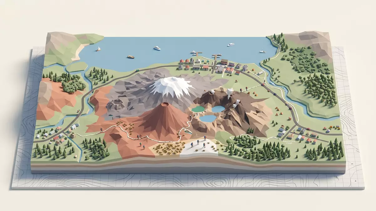
Tongariro National Park near Taupo is a volcanic landscape of cones, crater lakes and open alpine slopes. It is also a place where mountains such as Ruapehu, Tongariro and Ngauruhoe shape the view from far across the Central Plateau.
Volcanic peaks on a high plateau
The park sits in the central North Island and includes active and dormant volcanic terrain within a protected mountain setting. Ruapehu is the highest of the three major peaks, while Ngauruhoe forms a sharp cone beside Tongariro’s broader mass.
The terrain changes quickly from tussock plains to rough lava fields and scoria slopes. On clear days, the volcanic forms read as distinct silhouettes rather than a single mountain range.
M?ori heritage and protected status
The area holds deep importance in M?ori culture, and the mountains are central to that meaning. Tongariro was gifted to the nation by Te Heuheu Tukino IV, known as Horonuku, in 1887.
The park was established in 1887, making it one of the world’s earliest national parks. Its protected status also reflects a long history of cultural guardianship and environmental concern.
Tracks, lakes and alpine conditions
Visitors find crater lakes, ridgelines and long walking routes through exposed country. The best-known route is the Tongariro Alpine Crossing, with steep sections, loose volcanic ground and high, changeable weather.
Lower in the park, forest edges and open valleys add contrast to the higher volcanic ground. The range of scenery makes the park work as both a hiking landscape and a place of broad mountain views.
Visiting Tongariro National Park: what travellers from Western Europe should know
- The park is reached from Taupo by road, and also from other North Island towns connected to the Central Plateau.
- Admission arrangements and opening hours are set by the site's operator and change with the season; the official website is the only binding source.
- Late spring, summer and early autumn offer the most reliable walking conditions, while higher ground can stay unsettled.
- The alpine tracks involve steep ascent, exposed ridges and long distances on foot, with little shelter once above the treeline.
- English is widely used, and New Zealand dollars are the local currency; small service towns around the park provide food and fuel.
- Entry requirements depend on your nationality. UK travellers should check the FCDO travel advice at gov.uk/foreign-travel-advice; Irish travellers the Department of Foreign Affairs at ireland.ie; EU and EEA citizens their own national foreign ministry.
Searching for Tongariro National Park on social platforms
These links open searches for Tongariro National Park on each platform.
Frequently asked questions about Tongariro National Park
Where is Tongariro National Park?
It lies in the central North Island of New Zealand, near Taupo. The park sits on the volcanic plateau between mountain country and broad open country.
What should a visit feel like?
Expect exposed mountain tracks, volcanic rock, crater rims and broad views rather than shaded woodland walks. Weather can change fast on the higher routes.
What makes the park distinctive?
The mix of active volcanic landforms, M?ori significance and early national park status gives it a strong identity. The three main peaks and the alpine crossing define the landscape most clearly.