
Uluru in Yulara: Australia’s sandstone monolith
Published on 09/01/2026 at 06:24 | Editorial responsibility: Rafael Müller, Editor-in-Chief AD HOC NEWS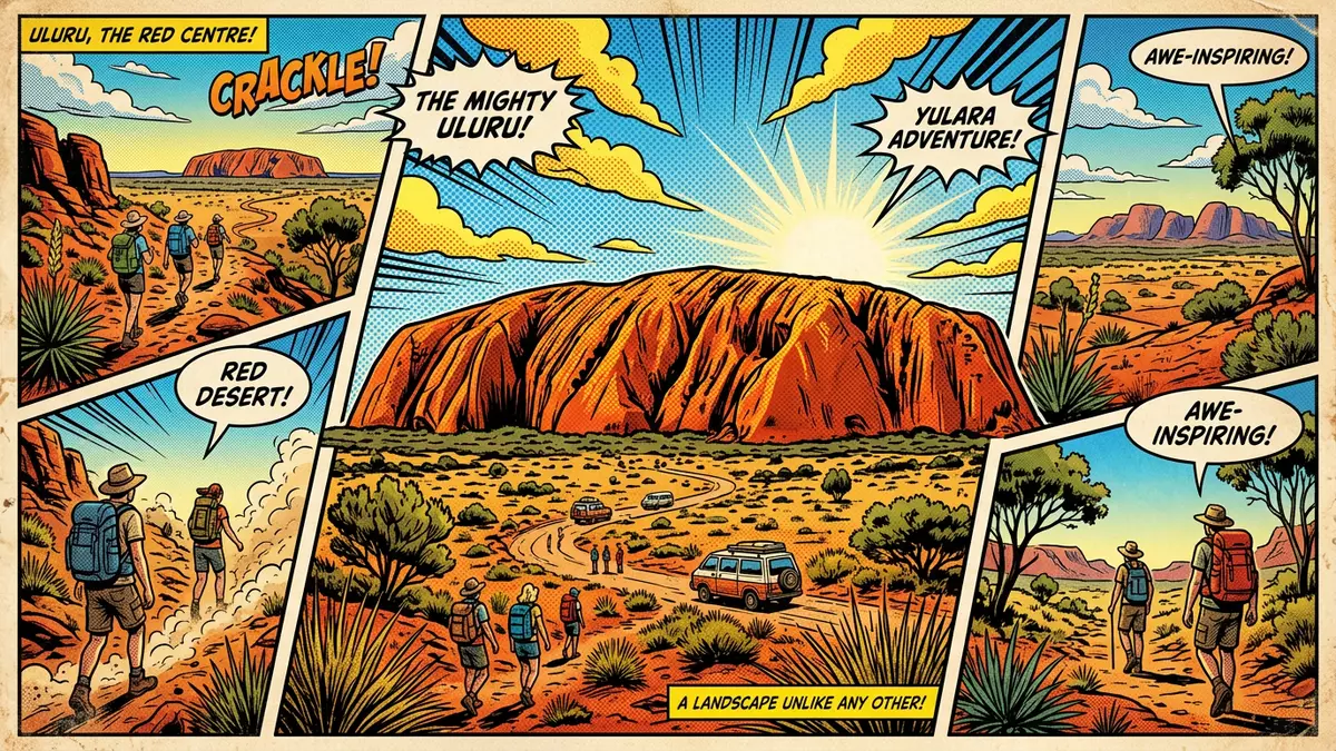
Uluru is a vast sandstone monolith rising from the desert near Yulara in Australia’s Northern Territory, a landmark shaped by deep geological time and Indigenous culture. Its reddish rock catches the changing light across the day, giving the single block of stone a presence that defines this part of the continent.
A single block of sandstone in the Red Centre
Uluru stands in the southern part of the Northern Territory, in the arid region known as the Red Centre, within the Ulu?u-Kata Tju?a National Park west of Alice Springs.Northern Territory location The nearest service township is Yulara, just outside the park boundary to the north, which concentrates accommodation and visitor facilities before the road turns south towards the rock itself.Yulara as the service hub
The monolith rises several hundred metres above the surrounding plain and forms a roughly oval mass of sandstone with steep flanks and a relatively level summit plateau.height above the desert Much of Uluru’s bulk extends below the surface as a single tilted body of rock, making the visible cliff faces only a fraction of the total structure. Around the base, shallow valleys and low dunes of sand and spinifex grass emphasise how abruptly the sandstone block emerges from the plain.monolith within the park
Deep geological time written in rock layers
Uluru is composed mainly of arkosic sandstone, a coarse-grained rock rich in feldspar that was deposited in thick layers when this part of central Australia lay beneath shallow seas.shallow sea origins Over hundreds of millions of years, these sediments were buried, compressed and cemented, then uplifted and folded as the continental crust buckled. The layers that now make up Uluru stand almost on edge, tilted close to vertical instead of lying flat.
Weathering has carved gullies, ribs and fluted surfaces into the sandstone, but the rock mass has remained intact as a single block while surrounding softer deposits eroded away. Geologists describe Uluru as an inselberg, or island mountain, because it rises abruptly from comparatively level terrain. Its formation is linked to regional tectonic events in the late Neoproterozoic and early Palaeozoic eras, when mountain-building and subsequent erosion reshaped the centre of Australia.inselberg classification The visible cliff lines carry stripes and patches of different red and brown tones where minerals and iron oxides have weathered at varying rates.
World Heritage status and Anangu country
Uluru and the nearby domed formations of Kata Tjuta together form the core of Ulu?u-Kata Tju?a National Park, which covers over 1,300 km² of desert landscapes, rock outcrops and sand plains.extent of the national park The park was inscribed on the UNESCO World Heritage List in 1987 for its natural values and again in 1994 for its cultural significance, recognising both the geological story and the continuing traditions connected to the rock.dual World Heritage inscription
Uluru is central to the culture of the Anangu, the Aboriginal people whose ancestral lands include the rock and its surroundings. The cliff faces, caves and boulder fields are linked to creation stories and songlines, and certain areas are associated with particular ceremonies and are treated as sensitive. Walking tracks and viewing areas are arranged to respect these cultural considerations while still allowing visitors to observe the monolith from various angles. Around Yulara, galleries and cultural centres display Indigenous art from the wider region, reflecting how Uluru’s image and stories have entered artistic practice.
Visiting Uluru: what travellers from Western Europe should know
- Uluru lies in Ulu?u-Kata Tju?a National Park in the southern part of Australia’s Northern Territory, with the service township of Yulara just north of the park boundary.
- Ayers Rock Airport stands close to Yulara, and sealed roads link the township to the park entrance and the loop road that runs around the base of the rock.
- Walking paths at the foot of Uluru cross sandy ground and low rock shelves, with some sections exposed to direct sun and others passing beneath steep sandstone faces.
- The landscape is desert, with sparse trees, spinifex grass and low dunes; temperatures and conditions vary through the year, and shade is limited on open stretches.
- The official language is English and the currency is the Australian dollar; entry requirements depend on your nationality, UK travellers can check the FCDO travel advice at gov.uk/foreign-travel-advice, Irish travellers the Department of Foreign Affairs at ireland.ie.
Searching for Uluru on social platforms
These links open searches for Uluru on each platform.
Frequently asked questions about Uluru
Where is Uluru in relation to Yulara and the rest of Australia?
Uluru stands in Ulu?u-Kata Tju?a National Park in the southern part of the Northern Territory, with Yulara immediately north of the park and Alice Springs further northeast.
What should visitors expect when they walk near the base of Uluru?
Visitors encounter sandy paths, sections of low rock and steep sandstone walls, with stretches exposed to sun and others passing close to the foot of the cliff faces.
What makes Uluru distinctive among Australia’s landscapes?
Uluru is a single sandstone monolith rising abruptly from relatively flat desert, with near-vertical rock layers, a long geological history and recognised World Heritage cultural and natural value.


