
Utila Reef follows the island’s Caribbean shoreline
Published on 09/24/2026 at 09:01 | Editorial responsibility: Rafael Müller, Editor-in-Chief AD HOC NEWS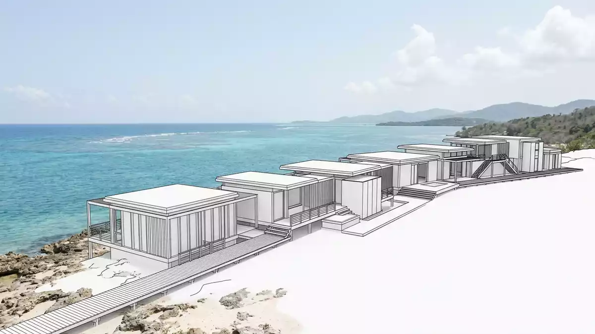
Utila Reef forms a living band around Utila, a low Caribbean island in Honduras’s Bay Islands. Coral lies close to the shoreline, beside mangroves, seagrass beds and shallow coastal water, creating a visible meeting point between land and sea.
The reef belongs to the southern reach of the Mesoamerican Barrier Reef System. Its shoreline setting gives Utila Reef a distinct character: the island’s wetlands and coral habitats sit within the same compact marine landscape.
Utila Reef and the southern Mesoamerican Barrier Reef
Utila lies off Honduras’s northern Caribbean coast, west of Roatán and Guanaja. It is the smallest of the country’s three principal Bay Islands, with a land area of about 45 km² (17 sq mi) and a highest point of 74 m (243 ft) at Pumpkin Hill.
The island occupies the southern end of the Mesoamerican Barrier Reef System, the extensive coral region extending along the Caribbean coasts of Mexico, Belize, Guatemala and Honduras. Utila Reef is a fringing reef, with coral growth near land rather than a distant offshore barrier.
Coral, seagrass and mangrove habitats
Utila Reef is part of an interconnected coastal setting. Coral formations occur beside seagrass beds, mangrove forests, coastal lagoons, rocky shores and shallow marine areas. These habitats support fish, shellfish, sea turtles and other marine species.
The surrounding wetlands received international recognition in 2013. The Utila Wetlands Ramsar site covers 16,226 hectares and includes Utila, its surrounding waters and the Bay Islands Marine Park. Its recorded ecosystems include coral reefs, marine grasses, mangroves, swamps, coastal lakes and rocky shores.
Protected waters around Utila
Marine protection around Utila includes the Bay Islands Marine Park, special marine protection zones and the Turtle Harbour Wildlife Refuge. These designations place the reef within a wider conservation landscape rather than treating coral habitat as an isolated feature.
The island also provides habitat for the Utila spiny-tailed iguana, Ctenosaura bakeri, which lives in Utila’s mangrove forests. The Ramsar designation records endangered sea turtles among the species associated with the wider wetland system, including the green turtle and hawksbill turtle.
Visiting Utila Reef: what travellers from Western Europe should know
- Utila lies in the Bay Islands off Honduras’s northern Caribbean coast. Boats connect the island with La Ceiba, while air travel reaches the Bay Islands through regional airports.
- Access to the reef involves water rather than a land trail. Shoreline conditions include shallow water, mangrove edges, seagrass beds, coral formations and channels.
- The official language is Spanish and the currency is the Honduran lempira.
- Entry requirements depend on your nationality; UK travellers can check the FCDO travel advice at gov.uk/foreign-travel-advice, Irish travellers the Department of Foreign Affairs at ireland.ie.
Searching for Utila Reef on social platforms
These links open searches for Utila Reef on each platform.
Frequently asked questions about Utila Reef
Where is Utila Reef?
Utila Reef surrounds Utila in the Bay Islands of Honduras, in the western Caribbean Sea. Utila lies off the country’s northern coast, near the southern end of the Mesoamerican Barrier Reef System.
What can visitors expect at Utila Reef?
The reef environment includes coral formations, shallow water, seagrass beds, mangroves and channels. Access takes place through the island’s coastal waters and nearby marine habitats.
What makes Utila Reef distinctive?
Its coral habitat sits close to Utila’s shoreline and forms part of a larger wetland system. Coral reefs, mangroves and seagrass are included within the Ramsar-listed Utila Wetlands landscape.


